- Retrait gratuit dans votre magasin Club
- 7.000.000 titres dans notre catalogue
- Payer en toute sécurité
- Toujours un magasin près de chez vous
- Retrait gratuit dans votre magasin Club
- 7.000.0000 titres dans notre catalogue
- Payer en toute sécurité
- Toujours un magasin près de chez vous
Résultats pour "Walkabout"
-
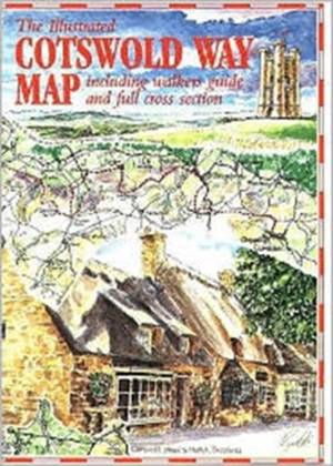
The Cotswold Way Map
- Covers 104 miles of the Cotswold Way, from Chipping Campden to Bath, with contours shaded to show relief and including cross-sections of the gradients... Savoir plus
8,45 €Livraison 1 à 2 semaines8,45 €Livraison 1 à 2 semaines -
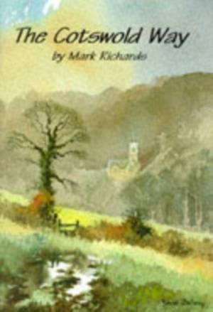
The Cotswold Way
Mark Richards
- Livre broché | Walkabout
- Chosen as the official guide to the Cotswold Way relay race, this book describes the Cotswold Way from the best vantage point - on foot. It also featu... Savoir plus
10,45 €Livraison 1 à 2 semaines10,45 €Livraison 1 à 2 semaines -
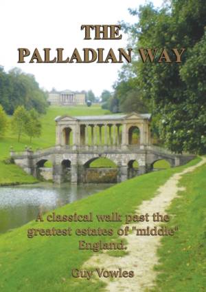
The Palladian Way
Guy Vowles
- Livre broché | Walkabout
- The Palladian Way is the brainchild of Cotswold walker Guy Vowles. It was born out of a previous idea for a long distance walk between Oxford and Bath... Savoir plus
18,95 €Livraison 1 à 2 semaines18,95 €Livraison 1 à 2 semaines -
Gloucestershire and Forest of Dean Walks
John Abbott
- Livre broché | Walkabout
- This guide describes ten walks in Gloucestershire and covers an area south-west of the M50 and M5, from Tewkesbury to Ruardean. Many of the walks incl... Savoir plus
6,95 €Livraison 1 à 2 semaines6,95 €Livraison 1 à 2 semaines -
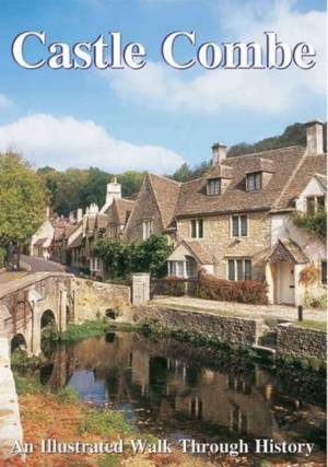
Castle Combe
Paul Snowdon
- Livre broché | Walkabout
- Let us take you around a village where time has stood still for over 500 years seen through the eyes of artist Paul Snowdon as he leads you around the... Savoir plus
6,95 €Livraison 1 à 2 semaines6,95 €Livraison 1 à 2 semaines -
Discovering Bath
Paul Snowdon
- Livre broché | Walkabout
- This guide features a hand-drawn guide to Bath, with the author taking the reader round the key areas of the historical town. Another title from the C... Savoir plus
8,45 €Livraison 1 à 2 semaines8,45 €Livraison 1 à 2 semaines -
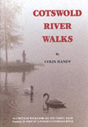
Cotswold Riverwalks
Colin Handy
- Livre broché | Walkabout
- Contains circular walks in the Cotswold countryside. Each one in this guide offers a chance to view the daily life of the riverbank animals, birds and... Savoir plus
8,45 €Livraison 1 à 2 semaines8,45 €Livraison 1 à 2 semaines -
The Cirencester Experience
Miriam Harrison, Shirley Alexander
- Livre broché | Walkabout
- The ancient market town of Cirencester became a Roman fort and under Roman rule, the fort grew into the city of Corinium. In all of Britain, only Lond... Savoir plus
8,45 €Livraison 1 à 2 semaines8,45 €Livraison 1 à 2 semaines -
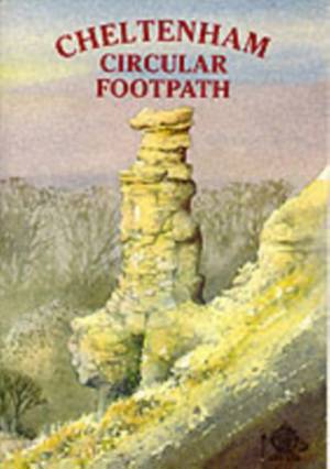
Cheltenham Circular Footpath
Richard Cheltenham Borough Council
- Livre broché | Walkabout
- The footpath detailed in this guide is 25 miles long and based on existing rights of way. The walk has been upgraded and waymarked by the Ramblers Ass... Savoir plus
10,45 €Livraison 1 à 2 semaines10,45 €Livraison 1 à 2 semaines -
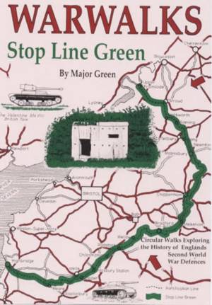
War Walks
M. Green
- Livre broché | Walkabout
- Stop Line Green (SLG) was a continuous linear defensive position some 100 mile long running in rough semi circle east of Bristol from Highbridge on th... Savoir plus
8,45 €Date de disponibilité inconnue8,45 €Date de disponibilité inconnue -
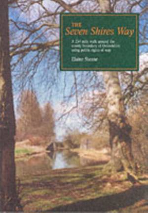
The Seven Shires Way
Elaine Steane
- Livre broché | Walkabout
- The Seven Shires Way is a 234-mile long walk around the Oxfordshire county boundary. The text divides the walk into 21 sections, all of which have sug... Savoir plus
18,45 €Date de disponibilité inconnue18,45 €Date de disponibilité inconnue -
Exploring the History of North Staffordshire
Paul Snowdon
- Livre broché | Walkabout
- Containing illustration and map drawing, this book features eight short walks interspersed with seven pictorial features about history of North Staffo... Savoir plus
8,45 €Date de disponibilité inconnue8,45 €Date de disponibilité inconnue -
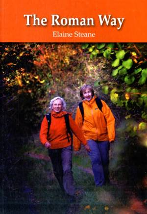
Roman Way
Elaine Steane
- Livre broché | Walkabout
- Presents a 174-mile walk, on the theme of Roman roads, using public rights of way. This title follows a triangle formed by three Roman roads from Ches... Savoir plus
13,95 €Date de disponibilité inconnue13,95 €Date de disponibilité inconnue
13 sur 13 résultat(s) affiché(s)


