
- Retrait gratuit dans votre magasin Club
- 7.000.000 titres dans notre catalogue
- Payer en toute sécurité
- Toujours un magasin près de chez vous
- Retrait gratuit dans votre magasin Club
- 7.000.0000 titres dans notre catalogue
- Payer en toute sécurité
- Toujours un magasin près de chez vous


Résultats pour "Ordnance Survey"
-
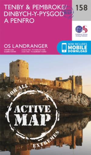
Tenby / Pembroke
- This OS Landranger map 158 of Tenby & Pembroke also includes Kilgetty, Freystrop, Yerbeston, Milford Haven, Wolfsdale, Llandissilio, the Pembrokeshire... Savoir plus
24,50 €Livraison 1 à 2 semaines24,50 €Livraison 1 à 2 semaines -
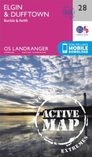
Elgin / Dufftown
- OS Landranger map 28 covers the area of Spey Bay on the Moray firth, including Elgin, Buckie, Dufftown, Burghhead, Keith, Charlestown of Aberlour and ... Savoir plus
24,50 €Livraison 1 à 2 semaines24,50 €Livraison 1 à 2 semaines -
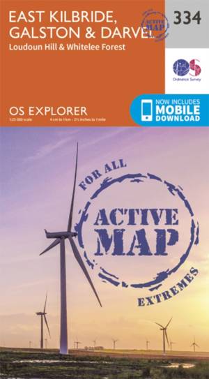
East Kilbride / Galston / Darvel
- East Kilbride, Galston & Darvel active exp gepl. Savoir plus
24,50 €Livraison 1 à 2 semaines24,50 €Livraison 1 à 2 semaines -
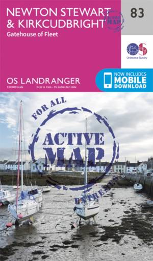
Newton Stewart / Kirkcudbright
- Newton Stewart sits at the geographical centre of the rolling Galloway Hills and Forest Park, and is shown on OS Landranger map 83. Savoir plus
24,50 €Livraison 1 à 2 semaines24,50 €Livraison 1 à 2 semaines -
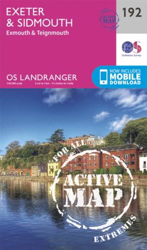
Exeter / Sidmouth / Exmouth
- Map sheet number 192 in the OS Landranger map series is the ideal map for planning days out and holidays to Exeter and Sidmouth. Explore the east of D... Savoir plus
24,50 €Livraison 1 à 2 semaines24,50 €Livraison 1 à 2 semaines -
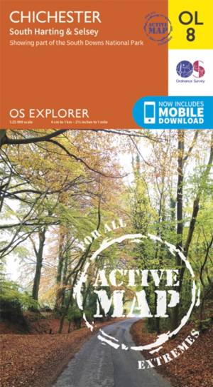
Chichester South Harting area
- OS Explorer map sheet OL 8 covers Chichester, South Harting, Selsey, Emsworth, Havant, Horndean, Midhurst and Wittering. Highlights of the area includ... Savoir plus
24,50 €Livraison 1 à 2 semaines24,50 €Livraison 1 à 2 semaines -
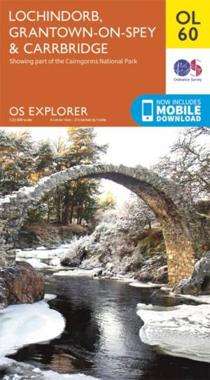
Lochindorb / Grantown-on-Spey
- Showing the north-western area of Cairngorms National Park, plus Strathdearn and the River Findhorn, OS Explorer map OL 60 is the perfect companies fo... Savoir plus
18,50 €Livraison 1 à 2 semaines18,50 €Livraison 1 à 2 semaines -

Cerne Abbas / Bere Regs
- Taking in Bere Regis, Blanford Forum, Cerne Abbas and Beaminster this map provides coverage of some of Dorset classed as an Area of Outstanding Natura... Savoir plus
18,50 €Livraison 1 à 2 semaines18,50 €Livraison 1 à 2 semaines -
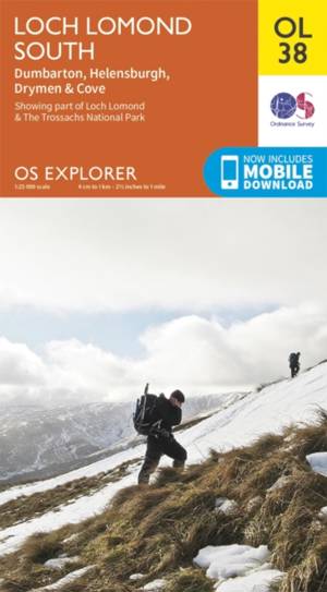
Loch Lomond South / Dumbarton
- Map sheet number OL 38 covers Loch Lomond South, Helensburgh and Dumbarton. Highlights include the Loch Lomond and The Trossarchs National Park and th... Savoir plus
18,50 €Livraison 1 à 2 semaines18,50 €Livraison 1 à 2 semaines -
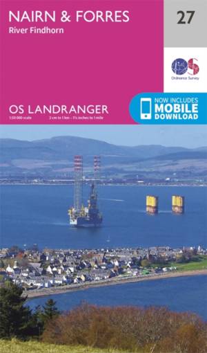
Nairn / Forres
- OS Landranger map 27 shows the Moray Firth, just east of Inverness. The Seaside town of Nairn is a popular holiday destination, or take the Moray Coas... Savoir plus
18,50 €Livraison 1 à 2 semaines18,50 €Livraison 1 à 2 semaines -
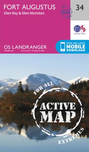
Fort Augustus
- Situated on the southern banks of the world famous Loch Ness, the charming village of Fort Augustus is surrounded by iconic Scottish landscape. Savoir plus
24,50 €Livraison 1 à 2 semaines24,50 €Livraison 1 à 2 semaines -

Birmingham / Walsall / Solihull / Redditch
- Map sheet number 220 in the OS Explorer series covers the area in the Midlands around Birmingham and Solihull. Covering from Walsall and the Forest of... Savoir plus
24,50 €Livraison 1 à 2 semaines24,50 €Livraison 1 à 2 semaines -
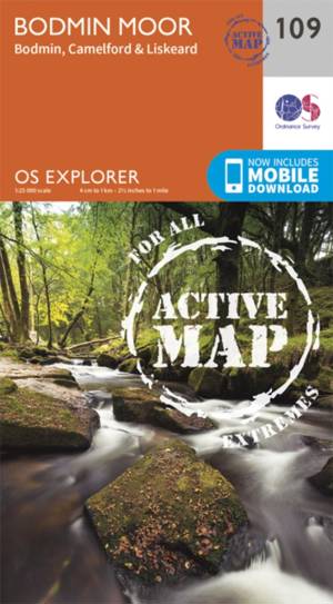
Bodmin Moor / Bodmin / Camelford
- Taking in the towns of Liskeard, Bodmin and Camelford this map provides coverage of Bodmin Moor as well as a section of the National Trail the South W... Savoir plus
24,50 €Livraison 1 à 2 semaines24,50 €Livraison 1 à 2 semaines -
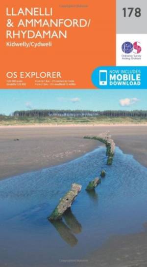
Llanelli / Ammanford / Rhydaman
- Map sheet number 178 covers Llanelli, Ammanford and Kidwelly. Highlights include Brecon Beacons National Park. Also includes Lliedi Resr, Gorseinon, B... Savoir plus
18,50 €Livraison 1 à 2 semaines18,50 €Livraison 1 à 2 semaines -
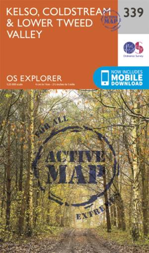
Kelso / Coldstream / lower Tweed Valley
- Kelso, Coldstream & lower Tweed Valley active exp gepl. Savoir plus
24,50 €Livraison 1 à 2 semaines24,50 €Livraison 1 à 2 semaines -
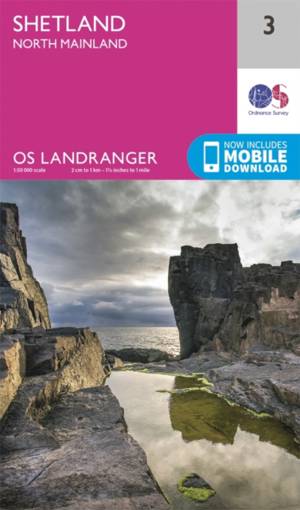
Shetland - North Mainland
- OS Landranger Map 3 toont het centrale gedeelte van het Shetland-vasteland, inclusief Muckle Roe, Papa Stour, Sullom Voe the Yell Sound. Savoir plus
18,50 €Livraison 1 à 2 semaines18,50 €Livraison 1 à 2 semaines -
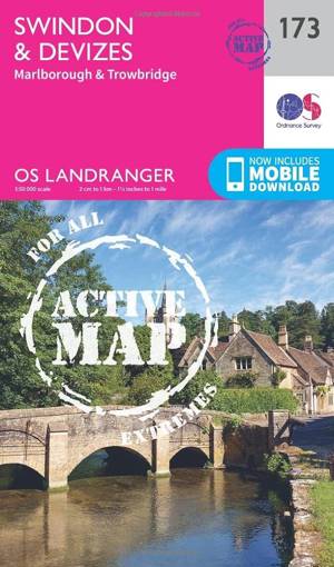
Swindon / Devizes / Marlborough
- Map sheet number 173 in the OS Landranger map series covers the edge of the Cotswold Hills and the Vale of Pewsey. Savoir plus
24,50 €Livraison 1 à 2 semaines24,50 €Livraison 1 à 2 semaines -
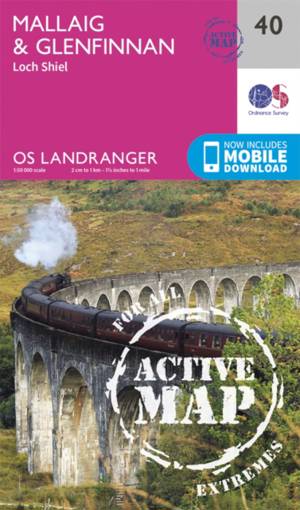
Mallaig / Glenfinnan
- The port of Mallaig is set along the famous Road to the Isles and is a great base to explore the Highlands and Loch Morar from. Set on the banks of Lo... Savoir plus
24,50 €Livraison 1 à 2 semaines24,50 €Livraison 1 à 2 semaines -
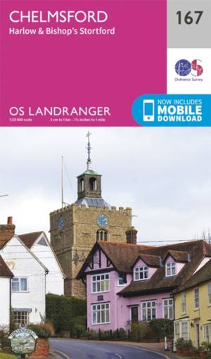
Chelmsford / Harlow
- Chelmsford is an accessible city in the heart of Essex. It has a bustling centre with plenty of shopping and dining facilities. Savoir plus
18,50 €Livraison 1 à 2 semaines18,50 €Livraison 1 à 2 semaines -
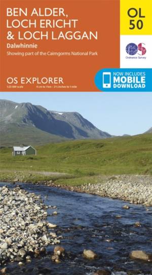
Ben Alder / Loch Ericht / Laggan
- OS Explorer map OL 50 shows Loch Ericht, Loch Laggan and 16 of the surrounding Munros, as well as part of the Cairngorms National Park. This map repla... Savoir plus
18,50 €Livraison 1 à 2 semaines18,50 €Livraison 1 à 2 semaines -
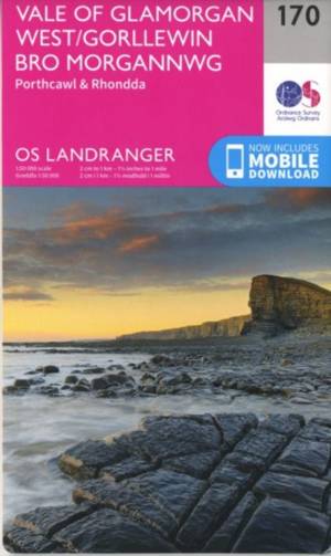
Vale of Glamorgan
- OS Landranger map 170 shows the Vale of Glamorgan in South Wales, and includes Porthcawl, Tonypandy, Pontypridd, Port Talbot and the Rhondda Valley. Savoir plus
18,50 €Livraison 1 à 2 semaines18,50 €Livraison 1 à 2 semaines -

Stroud / Tetbury / Malmesbury
- Map sheet number 168 in the OS Explorer series covers Stroud, Tetbury, Malmesbury, and Nailsworth. Highlights of the area include: Cotswolds AONB, Cot... Savoir plus
18,50 €Livraison 1 à 2 semaines18,50 €Livraison 1 à 2 semaines -
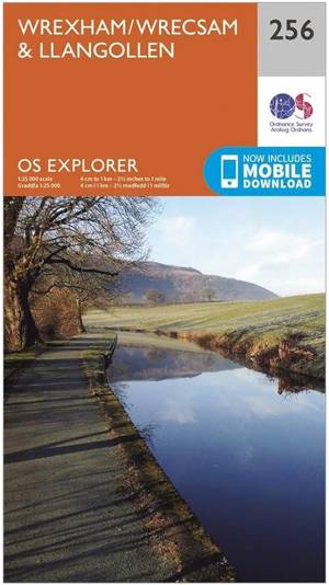
Wrexham/ Wrecsam / Llangollen
18,50 €Livraison 1 à 2 semaines18,50 €Livraison 1 à 2 semaines -
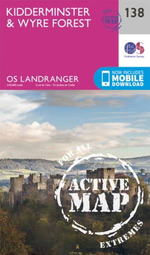
Kidderminster / Wyre Forest
- OS Landranger map 138 of Kidderminster & Wyre Forest also includes Bridgnorth, Abdon, Stanton Lacy, Bayton, Stoke Bliss, Brimfield, Ludlow, Highley, S... Savoir plus
24,50 €Livraison 1 à 2 semaines24,50 €Livraison 1 à 2 semaines