
- Retrait gratuit dans votre magasin Club
- 7.000.000 titres dans notre catalogue
- Payer en toute sécurité
- Toujours un magasin près de chez vous
- Retrait gratuit dans votre magasin Club
- 7.000.0000 titres dans notre catalogue
- Payer en toute sécurité
- Toujours un magasin près de chez vous


31,95 €
+ 63 points
Description
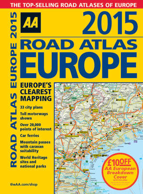
Fully revised and updated for 2015, this specialist A4 road atlas designed for the British motorist in Europe, with multi-scale mapping of 46 countries. The atlas includes information on national speed limits, toll-free motorways, car ferries, mountain passes with caravan suitability, emergency telephone numbers, and road distances, together with national parks and many other places of interest. 14.2 miles to 1 inch, 1:900,000 (main scale), but please note some areas are at a smaller scale.
Spécifications
Parties prenantes
- Auteur(s) :
- Editeur:
Contenu
- Nombre de pages :
- 360
- Langue:
- Anglais
Caractéristiques
- EAN:
- 9780749576691
- Date de parution :
- 01-01-15
- Format:
- Reliure spiralée
- Dimensions :
- 218 mm x 290 mm
- Poids :
- 997 g

Les avis
Nous publions uniquement les avis qui respectent les conditions requises. Consultez nos conditions pour les avis.