- Retrait gratuit dans votre magasin Club
- 7.000.000 titres dans notre catalogue
- Payer en toute sécurité
- Toujours un magasin près de chez vous
- Retrait gratuit dans votre magasin Club
- 7.000.0000 titres dans notre catalogue
- Payer en toute sécurité
- Toujours un magasin près de chez vous
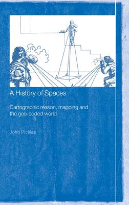
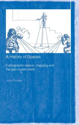
A History of Spaces
Cartographic Reason, Mapping and the Geo-Coded World
John Pickles
Livre relié | Anglais
351,45 €
+ 702 points
Format
Description
This book provides an essential insight into the practices and ideas of maps and map-making. It draws on a wide range of social theorists, and theorists of maps and cartography, to show how maps and map-making have shaped the spaces in which we live. Going beyond the focus of traditional cartography, the book draws on examples of the use of maps from the sixteenth century to the present, including their role in projects of the national and colonial state, emergent capitalism and the planetary consciousness of the natural sciences. It also considers the use of maps for military purposes, maps that have coded modern conceptions of health, disease and social character, and maps of the transparent human body and the transparent earth.
Spécifications
Parties prenantes
- Auteur(s) :
- Editeur:
Contenu
- Nombre de pages :
- 256
- Langue:
- Anglais
Caractéristiques
- EAN:
- 9780415144971
- Date de parution :
- 09-10-03
- Format:
- Livre relié
- Format numérique:
- Genaaid
- Dimensions :
- 163 mm x 237 mm
- Poids :
- 562 g

Les avis
Nous publions uniquement les avis qui respectent les conditions requises. Consultez nos conditions pour les avis.


