- Retrait gratuit dans votre magasin Club
- 7.000.000 titres dans notre catalogue
- Payer en toute sécurité
- Toujours un magasin près de chez vous
- Retrait gratuit dans votre magasin Club
- 7.000.0000 titres dans notre catalogue
- Payer en toute sécurité
- Toujours un magasin près de chez vous
Description
A connected world as imagined by early modern European artists, mapmakers, and writers, where Asia and the Americas were on a continuum
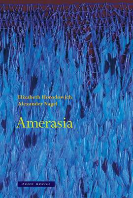
America and Asia mingled in the geographical and cultural imagination of Europe for well over a century after 1492. Through an array of texts, maps, objects, and images produced between 1492 and 1700, this compelling and revelatory study immerses the reader in a vision of a world where Mexico really was India, North America was an extension of China, and South America was marked by a variety of biblical and Asian sites. It asks, further: What does it mean that the Amerasian worldview predominated at a time when Europe itself was coming into cultural self-definition? Each of the chapters focuses on a particular artifact, map, image, or book that illuminates aspects of Amerasia from specific European cultural milieus. Amerasia shows how it was possible to inhabit a world where America and Asia were connected either imaginatively when viewed from afar, or in reality when traveling through the newly encountered lands. Readers will learn why early modern maps regularly label Mexico as India, why the "Amazonas" region was named after a race of Asian female warriors, and why artifacts and manuscripts that we now identify as Indian and Chinese are entangled in European collections with what we now label Americana. Elizabeth Horodowich and Alexander Nagel pose a dynamic model of the world and of Europe's place in it that was eclipsed by the rise of Eurocentric colonialist narratives in the nineteenth and twentieth centuries. To rediscover this history is an essential part of coming to terms with the emergent polyfocal global reality of our own time.Spécifications
Parties prenantes
- Auteur(s) :
- Editeur:
Contenu
- Nombre de pages :
- 464
- Langue:
- Anglais
Caractéristiques
- EAN:
- 9781942130833
- Date de parution :
- 08-08-23
- Format:
- Livre relié
- Format numérique:
- Genaaid
- Dimensions :
- 185 mm x 279 mm
- Poids :
- 1179 g

Les avis
Nous publions uniquement les avis qui respectent les conditions requises. Consultez nos conditions pour les avis.


