- Retrait gratuit dans votre magasin Club
- 7.000.000 titres dans notre catalogue
- Payer en toute sécurité
- Toujours un magasin près de chez vous
- Retrait gratuit dans votre magasin Club
- 7.000.000 titres dans notre catalogue
- Payer en toute sécurité
- Toujours un magasin près de chez vous
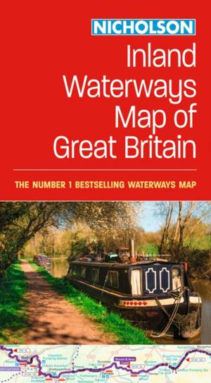
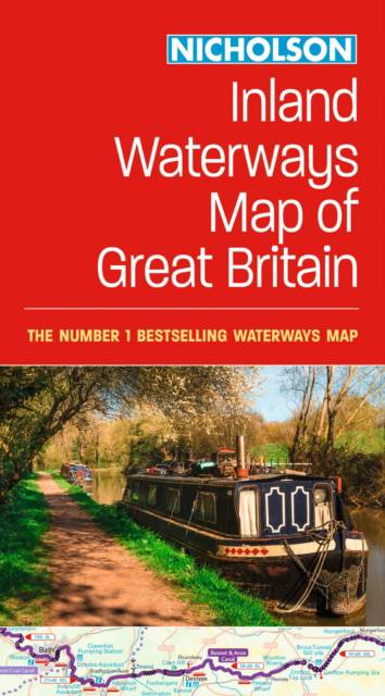
Collins Nicholson Inland Waterways Map of Great Britain
For Everyone with an Interest in Britain's Canals and Rivers
12,95 €
+ 25 points
Description
The best-selling guides to Britain's canals and rivers for more than 50 years. The map companion to the Collins Nicholson Waterways Guides, covering the entire network of canal and river navigations in England, Scotland and Wales, including newly restored/opened canals and rivers. The map identifies:
Clear insets of the Birmingham Canal Navigations, Scottish inland waterways, the Norfolk Broads and the London area.
- narrow and broad canals
- navigable rivers
- tidal river navigations
- waterways under construction
- contact telephone numbers and dimensions for each waterway
- internet links
Clear insets of the Birmingham Canal Navigations, Scottish inland waterways, the Norfolk Broads and the London area.
Spécifications
Parties prenantes
- Auteur(s) :
- Editeur:
Contenu
- Nombre de pages :
- 1
- Langue:
- Anglais
- Collection :
Caractéristiques
- EAN:
- 9780008652876
- Date de parution :
- 21-05-24
- Format:
- Carte pliée
- Dimensions :
- 124 mm x 236 mm
- Poids :
- 113 g


