- Retrait gratuit dans votre magasin Club
- 7.000.000 titres dans notre catalogue
- Payer en toute sécurité
- Toujours un magasin près de chez vous
- Retrait gratuit dans votre magasin Club
- 7.000.000 titres dans notre catalogue
- Payer en toute sécurité
- Toujours un magasin près de chez vous
Description
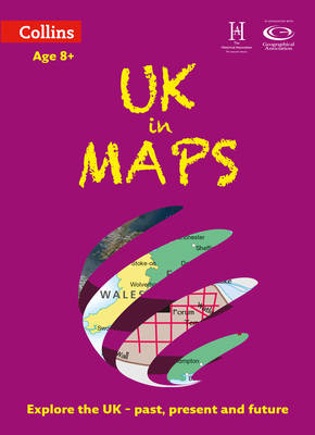
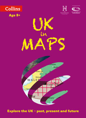
Collins UK in Maps is a multi-topic atlas of the UK, which introduces the most relevant topics to reflect the Geography Key Stage 2-3 requirements of the National Curriculum. Formerly published as Collins Keystart UK Atlas, this collection of maps can be used to investigate different themes and topics. It tells a story in maps, diagrams, charts, words and photographs each of which presents information to compare and examine. We live on a remarkable planet and this atlas helps us to make sense of the UK today and understand how things came to be as well as how they might change in years to come. Suggested activities on each spread encourage users to explorer further.
Spécifications
Parties prenantes
- Auteur(s) :
- Editeur:
Contenu
- Nombre de pages :
- 56
- Langue:
- Anglais
- Collection :
Caractéristiques
- EAN:
- 9780008271732
- Date de parution :
- 01-06-19
- Format:
- Livre broché
- Format numérique:
- Trade paperback (VS)
- Dimensions :
- 239 mm x 305 mm
- Poids :
- 249 g


