- Retrait gratuit dans votre magasin Club
- 7.000.000 titres dans notre catalogue
- Payer en toute sécurité
- Toujours un magasin près de chez vous
- Retrait gratuit dans votre magasin Club
- 7.000.000 titres dans notre catalogue
- Payer en toute sécurité
- Toujours un magasin près de chez vous
19,95 €
+ 39 points
Format
Description
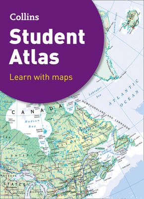
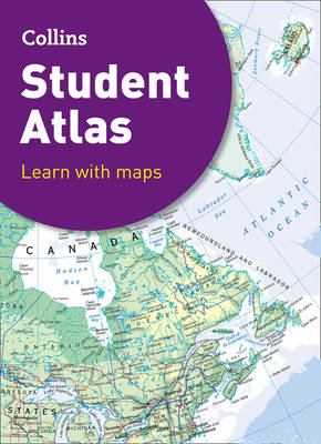
Fully revised and updated for 2021, this curriculum-supportive world atlas is the perfect tool for students aged 14-16 years. It features up-to-date reference and thematic mapping, country-by-country statistics, an extensive geographical dictionary and a fully comprehensive index.- Color coded for ease of use - Includes thematic maps and accompanying graphs and tables - Covers tourism, telecommunications, environmental and socio-economic topics - Lists relevant web addresses on each thematic page so students can explore topics more deeply - High quality satellite imagery supports data on the maps and is used to illustrate key environmental issues - Up-to-date demographic and socio-economic statistics can be used to support geographical, tourist, mathematical, economic or IT projects.
Spécifications
Parties prenantes
- Auteur(s) :
- Editeur:
Contenu
- Nombre de pages :
- 208
- Langue:
- Anglais
- Collection :
Caractéristiques
- EAN:
- 9780008430245
- Date de parution :
- 01-09-21
- Format:
- Livre relié
- Format numérique:
- Genaaid
- Dimensions :
- 235 mm x 316 mm
- Poids :
- 1097 g


