- Retrait gratuit dans votre magasin Club
- 7.000.000 titres dans notre catalogue
- Payer en toute sécurité
- Toujours un magasin près de chez vous
- Retrait gratuit dans votre magasin Club
- 7.000.0000 titres dans notre catalogue
- Payer en toute sécurité
- Toujours un magasin près de chez vous
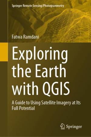
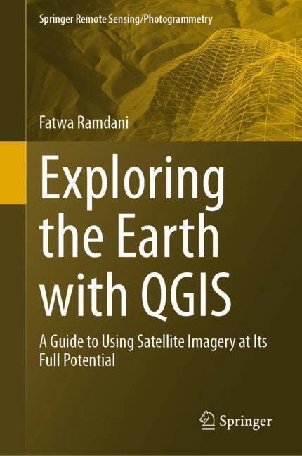
Exploring the Earth with Qgis
A Guide to Using Satellite Imagery at Its Full Potential
Fatwa RamdaniDescription
With the rapid advancements in satellite technology, earth remote sensing has become an indispensable tool for a wide range of applications, from environmental monitoring to disaster management. However, the vast amount of data generated by these satellites can be overwhelming for many researchers and practitioners who lack the necessary skills and tools to process and analyze it. This is where QGIS comes in. QGIS is a powerful, open-source Geographic Information System (GIS) software that has been extensively used in the field of earth remote sensing. It provides a user-friendly platform for processing, analyzing, and visualizing satellite imagery, enabling users to unlock the full potential of earth remote sensing data. The purpose of this book is to help researchers and practitioners who lack the necessary skills and tools to process and analyze satellite imagery using QGIS.
There are several books that cover the use of QGIS for earth remote sensing, but most of them areeither too technical or too general. This book fills this gap by providing a comprehensive and user-friendly guide to using QGIS for earth remote sensing applications. It includes a range of real-world case studies that demonstrate the power and versatility of QGIS for solving complex problems in earth remote sensing. This will provide readers with practical examples of how to use QGIS for earth remote sensing and inspire them to explore new applications and possibilities. The book is intended for GIS professionals, students (undergraduate and graduate), and researchers who are interested in using QGIS for earth remote sensing applications. It will be particularly useful for those who are new to QGIS or who want to expand their knowledge of the software for remote sensing purposes.
Spécifications
Parties prenantes
- Auteur(s) :
- Editeur:
Contenu
- Nombre de pages :
- 232
- Langue:
- Anglais
- Collection :
Caractéristiques
- EAN:
- 9783031460418
- Date de parution :
- 22-11-23
- Format:
- Livre relié
- Format numérique:
- Genaaid
- Dimensions :
- 163 mm x 237 mm
- Poids :
- 571 g

Les avis
Nous publions uniquement les avis qui respectent les conditions requises. Consultez nos conditions pour les avis.


