- Retrait gratuit dans votre magasin Club
- 7.000.000 titres dans notre catalogue
- Payer en toute sécurité
- Toujours un magasin près de chez vous
- Retrait gratuit dans votre magasin Club
- 7.000.0000 titres dans notre catalogue
- Payer en toute sécurité
- Toujours un magasin près de chez vous
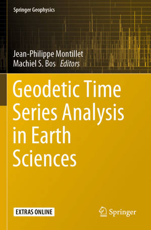
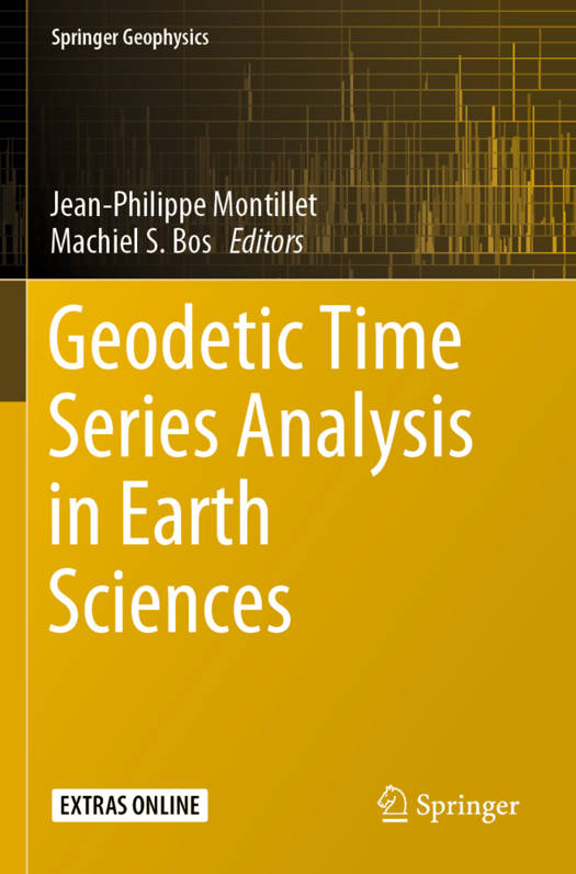
Geodetic Time Series Analysis in Earth Sciences
158,45 €
+ 316 points
Description
This book provides an essential appraisal of the recent advances in technologies, mathematical models and computational software used by those working with geodetic data. It explains the latest methods in processing and analyzing geodetic time series data from various space missions (i.e. GNSS, GRACE) and other technologies (i.e. tide gauges), using the most recent mathematical models. The book provides practical examples of how to apply these models to estimate seal level rise as well as rapid and evolving land motion changes due to gravity (ice sheet loss) and earthquakes respectively. It also provides a necessary overview of geodetic software and where to obtain them.
Spécifications
Parties prenantes
- Editeur:
Contenu
- Nombre de pages :
- 422
- Langue:
- Anglais
- Collection :
Caractéristiques
- EAN:
- 9783030217204
- Date de parution :
- 30-08-20
- Format:
- Livre broché
- Format numérique:
- Trade paperback (VS)
- Dimensions :
- 156 mm x 234 mm
- Poids :
- 621 g

Les avis
Nous publions uniquement les avis qui respectent les conditions requises. Consultez nos conditions pour les avis.


