- Retrait gratuit dans votre magasin Club
- 7.000.000 titres dans notre catalogue
- Payer en toute sécurité
- Toujours un magasin près de chez vous
- Retrait gratuit dans votre magasin Club
- 7.000.000 titres dans notre catalogue
- Payer en toute sécurité
- Toujours un magasin près de chez vous
Description
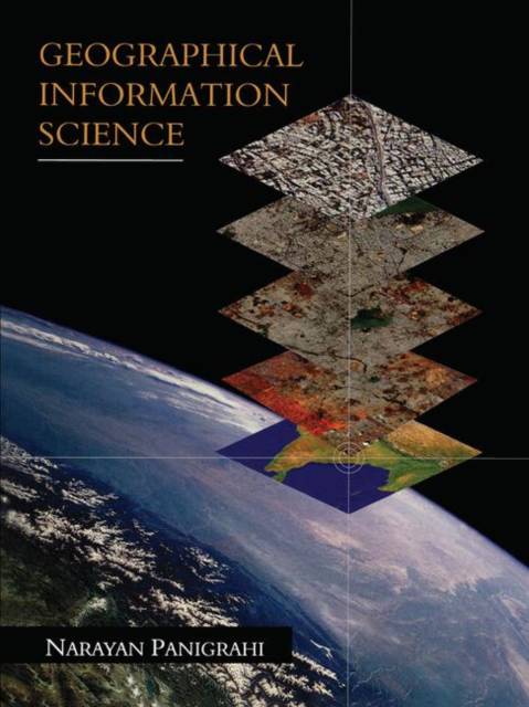
Over the last decade, GIS (geographical information systems) has established itself as a collaborative information processing system that is increasing in popularity. Yet this interdisciplinary field is not available to the vast community of students and academicians as a subject of study.
This book addresses the GIS user domain encompassing students, users, and engineers. Important aspects of geographical information science (GISc), which is the basis of GIS, are explained. The book aims to capture the basics of GIS from the point of view of a student. The requirements of GIS have been explained keeping in mind the general user's level of knowledge. The processing capability of GIS along with the mathematics and formulae involved in arriving at a solution are explained for students and cartographers. The work flow of the whole system, its output, and applications are illustrated from an engineer's point of view.Spécifications
Parties prenantes
- Auteur(s) :
- Editeur:
Contenu
- Nombre de pages :
- 292
- Langue:
- Anglais
Caractéristiques
- EAN:
- 9781138112117
- Date de parution :
- 07-02-19
- Format:
- Livre broché
- Format numérique:
- Trade paperback (VS)
- Dimensions :
- 178 mm x 239 mm
- Poids :
- 521 g


