- Retrait gratuit dans votre magasin Club
- 7.000.000 titres dans notre catalogue
- Payer en toute sécurité
- Toujours un magasin près de chez vous
- Retrait gratuit dans votre magasin Club
- 7.000.000 titres dans notre catalogue
- Payer en toute sécurité
- Toujours un magasin près de chez vous
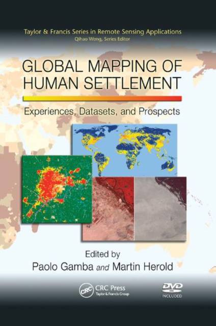
Global Mapping of Human Settlement
Experiences, Datasets, and Prospects
Description
The use of remote sensors for human settlement mapping and monitoring holds great promise for numerous fields of study, including urban planning and global environmental change and sustainability. While the potential for this technology is difficult to measure, achieving useful results at a regional or global level is but a recent accomplishment. Global Mapping of Human Settlement is the first book to provide a comprehensive overview of the methodologies, datasets, and approaches related to the use of remotely sensed data to map human settlements at the global scale, as well as the experiences encountered with their application.
Valuable to a broad range of researchers, the book begins by analyzing the requirements for global and regional urban remote sensing. It provides a general background of global urban issues, outlines observation and assessment requirements, and looks at how these relate to current initiatives on international policy and strategic levels. The contributors, an international group of pioneering experts, describe the characteristics of human settlements as seen and mapped from remote sensors, either at the regional or global scale. They also discuss the spectral variety, special scales, and nighttime appearance as key remote sensing indicators of these environments.
The text explores some of the most acclaimed and important projects and programs previously carried out or in current use for urban mapping and monitoring. These chapters highlight the impressive amount of information available and the processing and analysis techniques used to extract such data from several data sources, including satellite imagery. The book also explores some of the future challenges and makes recommendations regarding areas of research that should be actively pursued.
DVD Included to Complement the Text
To provide readers with the opportunity to experience the lat
Spécifications
Parties prenantes
- Editeur:
Contenu
- Nombre de pages :
- 374
- Langue:
- Anglais
- Collection :
Caractéristiques
- EAN:
- 9780367385521
- Date de parution :
- 21-09-19
- Format:
- Livre broché
- Format numérique:
- Trade paperback (VS)
- Dimensions :
- 155 mm x 231 mm
- Poids :
- 566 g


