- Retrait gratuit dans votre magasin Club
- 7.000.000 titres dans notre catalogue
- Payer en toute sécurité
- Toujours un magasin près de chez vous
- Retrait gratuit dans votre magasin Club
- 7.000.0000 titres dans notre catalogue
- Payer en toute sécurité
- Toujours un magasin près de chez vous
Description
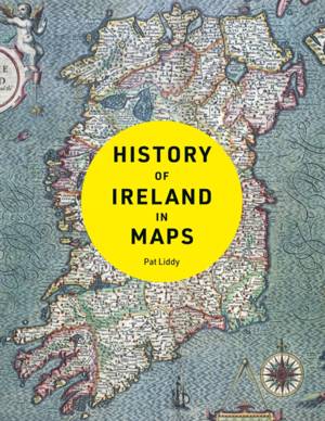
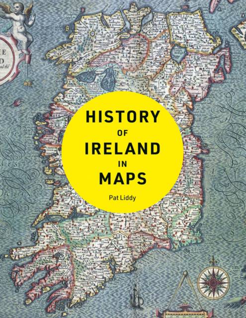
Explore Ireland’s fascinating story with more than 100 maps. From the early history of the Emerald Isle to the modern day, Ireland has evolved rapidly – along with the ways in which it has been mapped. Cartography has not only kept pace with these changes, but often driven them.
Spécifications
Parties prenantes
- Auteur(s) :
- Editeur:
Contenu
- Nombre de pages :
- 256
Caractéristiques
- EAN:
- 9780008469504
- Date de parution :
- 12-10-23
- Format:
- Livre relié
- Dimensions :
- 214 mm x 276 mm
- Poids :
- 1164 g

Les avis
Nous publions uniquement les avis qui respectent les conditions requises. Consultez nos conditions pour les avis.


