- Retrait gratuit dans votre magasin Club
- 7.000.000 titres dans notre catalogue
- Payer en toute sécurité
- Toujours un magasin près de chez vous
- Retrait gratuit dans votre magasin Club
- 7.000.0000 titres dans notre catalogue
- Payer en toute sécurité
- Toujours un magasin près de chez vous
Description
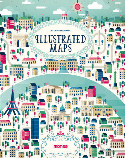
This book is a selection of different ways to interpret a map at the illustrative level. Several artists have created maps of the world´s most beautiful places and also its main cities, including Paris, Berlin, Dubai, Rio de Janeiro, and more. They are colorful illustrations in which each artist shows us his or her own way of working with lines and geometrical shapes, some very detailed or synthesized, some using computers or watercolors, and some simply using a pen.
Spécifications
Parties prenantes
- Auteur(s) :
- Editeur:
Contenu
- Nombre de pages :
- 192
- Langue:
- Anglais
Caractéristiques
- EAN:
- 9788416500260
- Date de parution :
- 01-01-20
- Format:
- Livre relié
- Format numérique:
- Genaaid
- Dimensions :
- 188 mm x 236 mm
- Poids :
- 861 g

Les avis
Nous publions uniquement les avis qui respectent les conditions requises. Consultez nos conditions pour les avis.


