- Retrait gratuit dans votre magasin Club
- 7.000.000 titres dans notre catalogue
- Payer en toute sécurité
- Toujours un magasin près de chez vous
- Retrait gratuit dans votre magasin Club
- 7.000.0000 titres dans notre catalogue
- Payer en toute sécurité
- Toujours un magasin près de chez vous
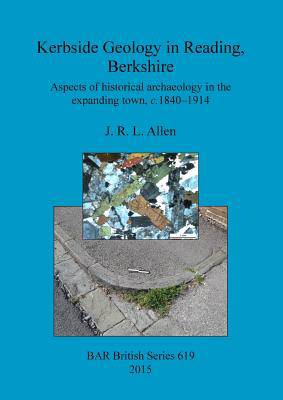
Kerbside Geology in Reading, Berkshire
Aspects of historical archaeology in the expanding town, c.1840-1914
J R L AllenDescription
Between 1801 and the First World War the population of the Borough of Reading increased almost tenfold, simultaneously with the growth of new industries. The authorities responded by delineating new streets and encouraging development in districts springing up mainly to the east, south and west beyond the original market town. The Borough's Highways Committee, helped by legislation, played a major role in managing and guiding these activities, especially in the later part of the nineteenth century. Largenumber of bricks burnt from local clays were used to build houses, shops, schools, chapels and churches required in these new suburbs, but the making of the streets called for the procurement of stone from far and wide. This volume discusses the geological features, spatial distribution and geographic sources (such as south Oxfordshire, Wales, Leicestershire and as far away as Norway) of the types of stone used for road construction in Reading in the late nineteenth and early twentieth centuries.
Spécifications
Parties prenantes
- Auteur(s) :
- Editeur:
Contenu
- Nombre de pages :
- 144
- Langue:
- Anglais
- Collection :
- Tome:
- n° 619
Caractéristiques
- EAN:
- 9781407314051
- Date de parution :
- 30-08-15
- Format:
- Livre broché
- Format numérique:
- Trade paperback (VS)
- Dimensions :
- 210 mm x 297 mm
- Poids :
- 494 g

Les avis
Nous publions uniquement les avis qui respectent les conditions requises. Consultez nos conditions pour les avis.


