- Retrait gratuit dans votre magasin Club
- 7.000.000 titres dans notre catalogue
- Payer en toute sécurité
- Toujours un magasin près de chez vous
- Retrait gratuit dans votre magasin Club
- 7.000.0000 titres dans notre catalogue
- Payer en toute sécurité
- Toujours un magasin près de chez vous
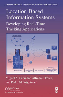
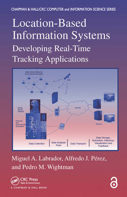
Location-Based Information Systems
Developing Real-Time Tracking Applications
Miguel A Labrador, Alfredo J Perez, Pedro M WightmanDescription
Drawing on the authors' more than six years of R&D in location-based information systems (LBIS) as well as their participation in defining the Java ME Location API 2.0, Location-Based Information Systems: Developing Real-Time Tracking Applications provides information and examples for creating real-time LBIS based on GPS-enabled cellular phones. Each chapter presents a general real-time tracking system example that can be easily adapted to target any application domain and that can incorporate other sensor data to make the system "participatory sensing" or "human-centric sensing."
The book covers all of the components needed to develop an LBIS. It discusses cellular phone programming using the Java ME platform, positioning technologies, databases and spatial databases, communications, client- and server-side data processing, and real-time data visualization via Google Maps and Google Earth. Using freely available software, the authors include many code examples and detailed instructions for building your own system and setting up your entire development environment.
Web ResourceA companion website at www.csee.usf.edu/ labrador/LBIS provides additional information and supporting material. It contains all of the software packages and applications used in the text as well as PowerPoint slides and laboratory examples.
Although LBIS applications are still in the beginning stages, they have the potential to transform our daily lives, from warning us about possible health problems to monitoring pollution levels around us. Exploring this novel technology, Location-Based Information Systems describes the technical components needed to create location-based services with an emphasis on nonproprietary, freely available solutions that work across different technologies and platforms.
Spécifications
Parties prenantes
- Auteur(s) :
- Editeur:
Contenu
- Nombre de pages :
- 288
- Langue:
- Anglais
- Collection :
Caractéristiques
- EAN:
- 9780367383480
- Date de parution :
- 18-10-19
- Format:
- Livre broché
- Format numérique:
- Trade paperback (VS)
- Dimensions :
- 155 mm x 234 mm
- Poids :
- 566 g

Les avis
Nous publions uniquement les avis qui respectent les conditions requises. Consultez nos conditions pour les avis.


