- Retrait gratuit dans votre magasin Club
- 7.000.000 titres dans notre catalogue
- Payer en toute sécurité
- Toujours un magasin près de chez vous
- Retrait gratuit dans votre magasin Club
- 7.000.0000 titres dans notre catalogue
- Payer en toute sécurité
- Toujours un magasin près de chez vous
Description
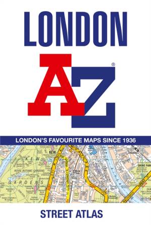
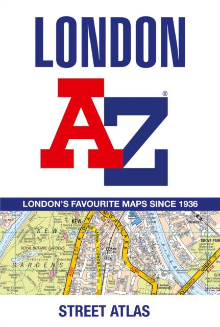
First published in 1936, this iconic atlas is a trusted means of finding your way around the capital city.
The main mapping extends beyond Central London from Heathrow Airport to Chingford at a scale of 2.88 inches to 1 mile (4.55 cm to 1 km), featuring postcode districts, one-way streets, the Congestion Charging Zone and Low Emission Zone.
The large-scale street map of Central London - at a scale of 5.75 inches to 1 mile - cover Regent's Park and Shoreditch, Chelsea and Vauxhall, Hyde Park and Bermondsey.
A comprehensive index lists streets, selected flats, walkways and places of interest, place, area and junction names. Additional healthcare (hospitals, walk-in centres and hospices) and transport connections (National Rail, London Tramlink, Docklands Light Railway, London Underground and Overground stations, and River Bus pier) are indexed as well.
Also included are:
- Overview map of the Congestion Charging Zone, Ultra Low Emission and Low Emission Zones
- West End Theatre map
- London Connections rail services map
Spécifications
Parties prenantes
- Auteur(s) :
- Editeur:
Contenu
- Nombre de pages :
- 464
- Langue:
- Anglais
Caractéristiques
- EAN:
- 9780008663490
- Date de parution :
- 06-08-24
- Format:
- Livre broché
- Format numérique:
- Trade paperback (VS)
- Dimensions :
- 130 mm x 190 mm
- Poids :
- 521 g

Les avis
Nous publions uniquement les avis qui respectent les conditions requises. Consultez nos conditions pour les avis.


