- Retrait gratuit dans votre magasin Club
- 7.000.000 titres dans notre catalogue
- Payer en toute sécurité
- Toujours un magasin près de chez vous
- Retrait gratuit dans votre magasin Club
- 7.000.0000 titres dans notre catalogue
- Payer en toute sécurité
- Toujours un magasin près de chez vous
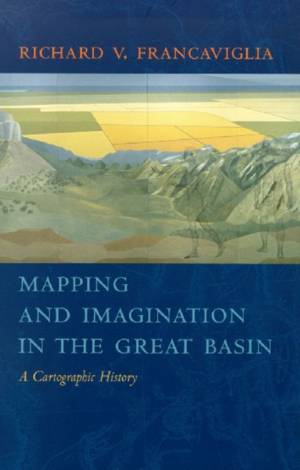
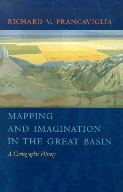
Mapping and Imagination in the Great Basin
A Cartographic History
Richard V Francaviglia
Livre broché | Anglais
37,95 €
+ 75 points
Description
The Great Basin was the last region of continental North America to be explored and mapped, and it remained largely a mystery to European-Americans until well into the nineteenth century. In Mapping and Imagination in the Great Basin, geographer-historian Richard Francaviglia shows how the Great Basin's gradual emergence from its large cartographic silence both paralleled the development of the sciences of surveying, geology, hydrology, and cartography, and reflected the changing geopolitical aspirations of the European colonial powers and the United States. Francaviglia's compelling, wide-ranging discussion combines an explanation of the physical realities of the Great Basin with a cogent examination of the ways humans, from early Native Americans to nineteenth-century surveyors to twentieth-century highway and air travelers, have understood, defined, and organized this space, psychologically and through the medium of maps. and nations - Spain, Mexico, France, England and the Americas - and shows how their maps of the Great Basin reflected attitudes and beliefs about what lay in the interior American West. These maps run the gamut, from the manuscript maps of early explorers to printed maps used to promote rail and air travel across the Great Basin, as well as satellite and computer-derived maps of the very recent past. This rich interdisciplinary account of the mapping of the Great Basin combines a chronicle of the exploration of the region with a history of the art and science of cartography and of the political, economic, and social contexts in which maps are created. The result is an impressive contribution to the canon of American Western history and of the evolution and multifarious functions of maps, ancient and modern. Mapping and Imagination in the Great Basin will be irresistible to historians, geographers, lovers of maps, and anyone who thrills to the exploits of early Western explorers.
Spécifications
Parties prenantes
- Auteur(s) :
- Editeur:
Contenu
- Nombre de pages :
- 256
- Langue:
- Anglais
Caractéristiques
- EAN:
- 9780874176179
- Date de parution :
- 07-03-05
- Format:
- Livre broché
- Format numérique:
- Trade paperback (VS)
- Dimensions :
- 180 mm x 254 mm
- Poids :
- 544 g

Les avis
Nous publions uniquement les avis qui respectent les conditions requises. Consultez nos conditions pour les avis.


