- Retrait gratuit dans votre magasin Club
- 7.000.000 titres dans notre catalogue
- Payer en toute sécurité
- Toujours un magasin près de chez vous
- Retrait gratuit dans votre magasin Club
- 7.000.000 titres dans notre catalogue
- Payer en toute sécurité
- Toujours un magasin près de chez vous
Description
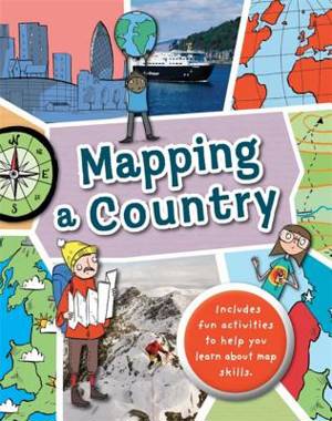
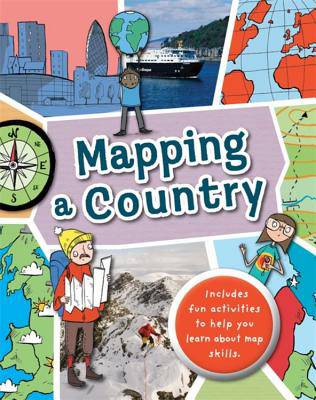
Full of hands-on activities to help you learn all about map skills whilst also learning about the features of the UK. This book will show you what a bird's-eye map is by looking at aerial photos; how landmarks can be shown as symbols; how to measure scale and distance; what map plans are; how compass points show you how to find directions; how to follow pathways and roads; how to use grid references; looking at landuse; and looking at transport maps.
Illustrations by Sarah Horne in an amusing and lively style are combined with photographs to really capture a child's attention helping them to learn these important map skills.
Spécifications


