- Retrait gratuit dans votre magasin Club
- 7.000.000 titres dans notre catalogue
- Payer en toute sécurité
- Toujours un magasin près de chez vous
- Retrait gratuit dans votre magasin Club
- 7.000.0000 titres dans notre catalogue
- Payer en toute sécurité
- Toujours un magasin près de chez vous
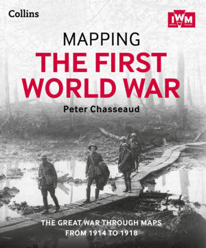
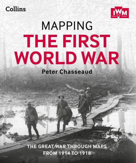
Mapping the First World War EBOOK
The Great War through maps from 1914-1918
Peter Chasseaud
Ebook | Anglais
20,99 €
+ 20 points
Description
Follow the conflict of the World War 1 from 1914-1918 through a unique collection of historical maps, expert commentary and photographs. Published in association and including mapping from the archives of the Imperial War Museums.
Ebook best viewed on a tablet.
Over 100 maps demonstrating how the Great War was fought around the world.
Types of maps featured:• Small scale maps showing country boundaries and occupied territories• Large-scale maps covering the key battles and offensives on all fronts of the war• Trench maps showing detailed positions of the front line• Maps from newspapers, battle planning and propaganda
Key offensives covered include:• The Battles of the Marne and Ypres• Tannenberg and the Eastern Front• Verdun and the Somme• The Gallipoli Campaign• Battle of Jutland• The Advances to Jerusalem, Damascus and Baghdad• Vimy Ridge and Passchendaele• German 1918 offensives and Allied counter-offensives• Battle of Jutland
Along with the maps, key historical events are described, giving an illustrated history of the war from an expert historian.
Spécifications
Parties prenantes
- Auteur(s) :
- Editeur:
Contenu
- Nombre de pages :
- 304
- Langue:
- Anglais
Caractéristiques
- EAN:
- 9780007525805
- Date de parution :
- 23-10-13
- Format:
- Ebook
- Protection digitale:
- Adobe DRM
- Format numérique:
- ePub

Les avis
Nous publions uniquement les avis qui respectent les conditions requises. Consultez nos conditions pour les avis.


