- Retrait gratuit dans votre magasin Club
- 7.000.000 titres dans notre catalogue
- Payer en toute sécurité
- Toujours un magasin près de chez vous
- Retrait gratuit dans votre magasin Club
- 7.000.0000 titres dans notre catalogue
- Payer en toute sécurité
- Toujours un magasin près de chez vous
Description
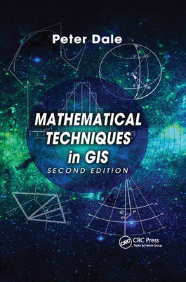
The second edition of a bestseller, Mathematical Techniques in GIS demystifies the mathematics used in the manipulation of spatially related data. The author takes a step-by-step approach through the basics of arithmetic, algebra, geometry, trigonometry and calculus that underpin the management of such data. He then explores the use of matrices, determinants and vectors in the handling of geographic information so that the data may be analyzed and displayed in two-dimensional form either in the visualization of the terrain or as map projections.
See What's New in the Second Edition:
Written for those who need to make use geographic information systems but have a limited mathematical background, this book introduces the basic statistical techniques commonly used in geographic information systems and explains best-fit solutions and the mathematics behind satellite positioning. By understanding the mathematics behind the gathering, processing, and display of information, you can better advise others on the integrity of results, the quality of the information, and the safety of using it.
Spécifications
Parties prenantes
- Auteur(s) :
- Editeur:
Contenu
- Nombre de pages :
- 359
- Langue:
- Anglais
Caractéristiques
- EAN:
- 9780367868468
- Date de parution :
- 10-12-19
- Format:
- Livre broché
- Format numérique:
- Trade paperback (VS)
- Dimensions :
- 156 mm x 234 mm
- Poids :
- 503 g


