- Retrait gratuit dans votre magasin Club
- 7.000.000 titres dans notre catalogue
- Payer en toute sécurité
- Toujours un magasin près de chez vous
- Retrait gratuit dans votre magasin Club
- 7.000.0000 titres dans notre catalogue
- Payer en toute sécurité
- Toujours un magasin près de chez vous
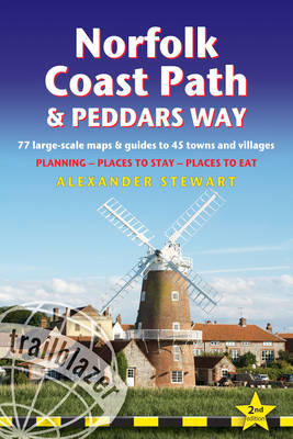
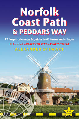
Norfolk Coast Path & Peddars Way
British Walking Guide: 77 Large-Scale Walking Maps (1:20,000) & Guides to 45 Towns & Villages - Planning, Places to Stay, Places to Eat
Alexander Stewart
21,50 €
+ 43 points
Description
The Peddars Way runs through East Anglia from Knettishall Heath on the Norfolk/Suffolk border and follows a Roman road to Holme-next-the-Sea. From here it becomes the Norfolk Coast Path, hugging the beautiful Norfolk coastline through Holkham, Wells, Blakeney and Cley to Cromer before it rounds the shoulder of the county and continues along the superb beaches and crumbling cliffs to Mundesley, Sea Palling and Great Yarmouth, finishing just before the Suffolk border.
Covering 130 miles of walking, this guide includes the 40-mile extension of the National Trail from Cromer to Hopton-on-Sea.
Spécifications
Parties prenantes
- Auteur(s) :
- Editeur:
Contenu
- Nombre de pages :
- 256
- Langue:
- Anglais
- Collection :
Caractéristiques
- EAN:
- 9781912716395
- Date de parution :
- 01-02-24
- Format:
- Livre broché
- Format numérique:
- Trade paperback (VS)
- Dimensions :
- 124 mm x 181 mm
- Poids :
- 254 g

Les avis
Nous publions uniquement les avis qui respectent les conditions requises. Consultez nos conditions pour les avis.


