- Retrait gratuit dans votre magasin Club
- 7.000.000 titres dans notre catalogue
- Payer en toute sécurité
- Toujours un magasin près de chez vous
- Retrait gratuit dans votre magasin Club
- 7.000.0000 titres dans notre catalogue
- Payer en toute sécurité
- Toujours un magasin près de chez vous
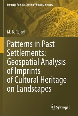
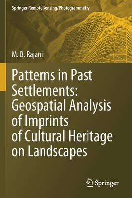
Patterns in Past Settlements: Geospatial Analysis of Imprints of Cultural Heritage on Landscapes
M B Rajani
196,45 €
+ 392 points
Description
Landscape archaeology: role of remote sensing and GIS.- Landscape morphology and spatial patterning of archaeological signatures when viewed from above.- The science and technology of remote sensing in context of archaeology.- GIS: an array of exceptional tools for archaeology.- RS and GIS for preservation, conservation and management.
Spécifications
Parties prenantes
- Auteur(s) :
- Editeur:
Contenu
- Nombre de pages :
- 168
- Langue:
- Anglais
- Collection :
Caractéristiques
- EAN:
- 9789811574689
- Date de parution :
- 01-10-21
- Format:
- Livre broché
- Format numérique:
- Trade paperback (VS)
- Dimensions :
- 156 mm x 234 mm
- Poids :
- 276 g

Les avis
Nous publions uniquement les avis qui respectent les conditions requises. Consultez nos conditions pour les avis.


