- Retrait gratuit dans votre magasin Club
- 7.000.000 titres dans notre catalogue
- Payer en toute sécurité
- Toujours un magasin près de chez vous
- Retrait gratuit dans votre magasin Club
- 7.000.000 titres dans notre catalogue
- Payer en toute sécurité
- Toujours un magasin près de chez vous
Description
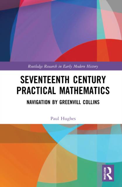
This exciting Greenvill Collins biography is about seventeenth century navigation, focusing for the first time on mathematics practised at sea. This monograph argues the Restoration kings', Charles II and James II, promotion of cartography for both strategy and trade. It is aimed at the academic, cartographic and larger market of marine enthusiasts. Through shipwreck and Arctic marooning, and Dutch and Spanish charts, Collins evolved a Prime Meridian running through Charles's capital. After John Ogilby's successful Britannia, Charles set Collins surveying his kingdom's coasts, and James set John Adair surveying in Scotland. They triangulated at sea. Subsequently, Collins persuaded James to sustain his dead brother's ambition. This, the British coast's first survey took six years. After James's flight, and William III's invasion, Collins lead the royal yacht squadron for six years more, garnering funds to publish Great Britain's Coasting Pilot. The Admiralty and civic institutions subsidised what became his own pilot. Collins aided Royal Society members in their investigations, and his new guide remained vital to navigators through the century following. Charles's cartographic promotion bloomed the most spectacularly in the atlases of Ogilby, Collins and John Flamsteed for roads, harbours, and stars.
Spécifications
Parties prenantes
- Auteur(s) :
- Editeur:
Contenu
- Nombre de pages :
- 290
- Langue:
- Anglais
- Collection :
Caractéristiques
- EAN:
- 9780367620448
- Date de parution :
- 29-09-21
- Format:
- Livre relié
- Format numérique:
- Genaaid
- Dimensions :
- 152 mm x 229 mm
- Poids :
- 580 g


