- Retrait gratuit dans votre magasin Club
- 7.000.000 titres dans notre catalogue
- Payer en toute sécurité
- Toujours un magasin près de chez vous
- Retrait gratuit dans votre magasin Club
- 7.000.0000 titres dans notre catalogue
- Payer en toute sécurité
- Toujours un magasin près de chez vous
Description
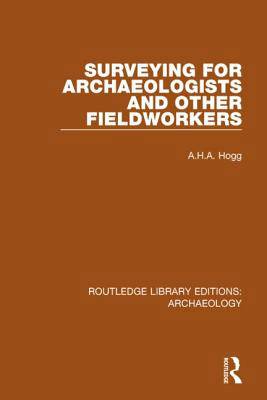
The object of this book is to enable archaeologists, even without relevant training, to deal with any problem in surveying. The book is arranged by technique for ease of reference. Thus one part is devoted to Chain Surveying, which has evolved over centuries into the simplest and quickest way of making accurate plans for most types of site; but methods of reconnaissance and of rough survey are also described. Since instrumental work is sometimes necessary, details are given of the construction and use of the Level and of the Theodolite and Tacheometer. Simple but accurate methods - those not requiring a computer - are described for plotting from oblique aerial photographs. Fully worked examples are given of all relevant calculations, with alternatives according to whether logarithms or an electronic calculator are available.
Spécifications
Parties prenantes
- Auteur(s) :
- Editeur:
Contenu
- Nombre de pages :
- 334
- Langue:
- Anglais
- Collection :
Caractéristiques
- EAN:
- 9781138817937
- Date de parution :
- 18-10-16
- Format:
- Livre broché
- Format numérique:
- Trade paperback (VS)
- Dimensions :
- 156 mm x 233 mm
- Poids :
- 619 g

Les avis
Nous publions uniquement les avis qui respectent les conditions requises. Consultez nos conditions pour les avis.


