- Retrait gratuit dans votre magasin Club
- 7.000.000 titres dans notre catalogue
- Payer en toute sécurité
- Toujours un magasin près de chez vous
- Retrait gratuit dans votre magasin Club
- 7.000.0000 titres dans notre catalogue
- Payer en toute sécurité
- Toujours un magasin près de chez vous
Description
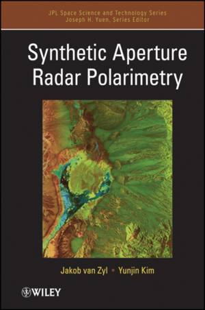
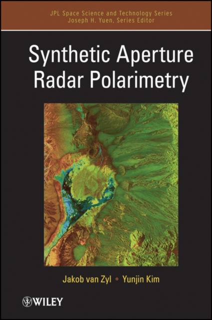
The book begins with basics of synthetic aperture radar to provide the basis for understanding how polarimetric SAR images are formed and gives an introduction to the fundamentals of radar polarimetry. It goes on to discuss more advanced polarimetric concepts that allow one to infer more information about the terrain being imaged. In order to analyze data quantitatively, the signals must be calibrated carefully, which the book addresses in a chapter summarizing the basic calibration algorithms. The book concludes with examples of applying polarimetric analysis to scattering from rough surfaces, to infer soil moisture from radar signals.
Spécifications
Parties prenantes
- Auteur(s) :
- Editeur:
Contenu
- Nombre de pages :
- 312
- Langue:
- Anglais
- Collection :
- Tome:
- n° 2
Caractéristiques
- EAN:
- 9781118115114
- Date de parution :
- 15-11-11
- Format:
- Livre relié
- Format numérique:
- Genaaid
- Dimensions :
- 157 mm x 236 mm
- Poids :
- 616 g

Les avis
Nous publions uniquement les avis qui respectent les conditions requises. Consultez nos conditions pour les avis.


