
- Retrait gratuit dans votre magasin Club
- 7.000.000 titres dans notre catalogue
- Payer en toute sécurité
- Toujours un magasin près de chez vous
- Retrait gratuit dans votre magasin Club
- 7.000.0000 titres dans notre catalogue
- Payer en toute sécurité
- Toujours un magasin près de chez vous


Description
For introductory courses in Geography.
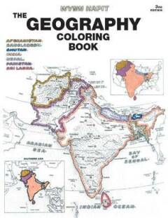
This unique educational tool introduces the countries of the world and the states of the United States to students. Each section begins with a plate containing a political map, a physical map, and regional maps. Through active participation, by coloring in countries, rivers, regions, etc. (and their respective names), students gain a broader understanding of the material and retain more information. A highly effective, but also enjoyable, way to learn.
Spécifications
Parties prenantes
- Auteur(s) :
- Editeur:
Contenu
- Nombre de pages :
- 208
- Langue:
- Anglais
Caractéristiques
- EAN:
- 9780131014725
- Date de parution :
- 11-10-02
- Format:
- Livre broché
- Format numérique:
- Trade paperback (VS)
- Dimensions :
- 216 mm x 277 mm
- Poids :
- 430 g


Les avis
Nous publions uniquement les avis qui respectent les conditions requises. Consultez nos conditions pour les avis.