- Retrait gratuit dans votre magasin Club
- 7.000.000 titres dans notre catalogue
- Payer en toute sécurité
- Toujours un magasin près de chez vous
- Retrait gratuit dans votre magasin Club
- 7.000.0000 titres dans notre catalogue
- Payer en toute sécurité
- Toujours un magasin près de chez vous
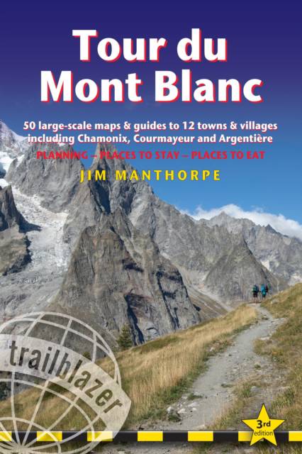
Tour Du Mont Blanc
Trail Guide with 50 Large-Scale Maps and Guides to 12 Towns and Villages Including Chamonix, Courmayeur and Argentière - Planning, Places to Stay, Places to Eat
Jim ManthorpeDescription
At 4810m (15,781ft), Mont Blanc is the highest mountain in western Europe, and one of the most famous mountains in the world. The trail (105 miles, 168km) that circumnavigates the massif, passing through France, Italy and Switzerland, is the most popular long distance walk in Europe.
62 maps - 12 town and village plans and 50 large-scale walking maps - at 1:20,000 - showing route times, gradients, where to stay, interesting features
Itineraries for all walkers - whether walking the 105 mile (168km) route in its entirety, or sampling the highlights on day walks and short breaks
Practical information for all budgets - where to stay (campsites, gîtes, hostels, B&Bs, lodges and hotels), where to eat, what to see
Comprehensive background information - the Alps, flora and fauna, the history of mountaineering and trekking in the region and the conquest of Mont Blanc in 1786 by Bourrit and Balmat
Full public transport information - for all access points
Climbing Mont Blanc - practical information, guides, the route to the top
Spécifications
Parties prenantes
- Auteur(s) :
- Editeur:
Contenu
- Nombre de pages :
- 220
- Langue:
- Anglais
- Collection :
Caractéristiques
- EAN:
- 9781912716364
- Date de parution :
- 19-12-23
- Format:
- Livre broché
- Format numérique:
- Trade paperback (VS)
- Dimensions :
- 122 mm x 173 mm
- Poids :
- 204 g

Les avis
Nous publions uniquement les avis qui respectent les conditions requises. Consultez nos conditions pour les avis.


