- Retrait gratuit dans votre magasin Club
- 7.000.000 titres dans notre catalogue
- Payer en toute sécurité
- Toujours un magasin près de chez vous
- Retrait gratuit dans votre magasin Club
- 7.000.0000 titres dans notre catalogue
- Payer en toute sécurité
- Toujours un magasin près de chez vous
89,45 €
+ 178 points
Description
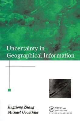
As Geographic Information Systems (GIS) have developed and their applications have been extended, the issue of uncertainty has become increasingly recognized. It is highlighted by the need to demystify the inherently complex geographical world to facilitate computerization in GIS, by the inaccuracies that emerge from man-machine interactions in data acquisition, and by error propagation in geoprocessing. Users need to be well aware of the likely impacts of uncertainties in spatial analysis and decision-making. This book discusses theoretical and practical aspects of spatial data processing and uncertainties, and covers a wide range of types of errors and fuzziness and emphasizes description and modeling. High level GIS professionals, researchers and graduate students will find this a constructive book.
Spécifications
Parties prenantes
- Auteur(s) :
- Editeur:
Contenu
- Nombre de pages :
- 288
- Langue:
- Anglais
Caractéristiques
- EAN:
- 9780367455026
- Date de parution :
- 02-12-19
- Format:
- Livre broché
- Format numérique:
- Trade paperback (VS)
- Dimensions :
- 156 mm x 233 mm
- Poids :
- 509 g

Les avis
Nous publions uniquement les avis qui respectent les conditions requises. Consultez nos conditions pour les avis.


