- Retrait gratuit dans votre magasin Club
- 7.000.000 titres dans notre catalogue
- Payer en toute sécurité
- Toujours un magasin près de chez vous
- Retrait gratuit dans votre magasin Club
- 7.000.0000 titres dans notre catalogue
- Payer en toute sécurité
- Toujours un magasin près de chez vous
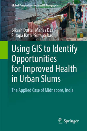
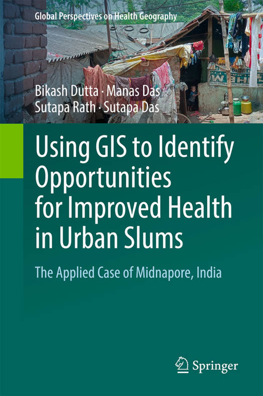
Using GIS to Identify Opportunities for Improved Health in Urban Slums
The Applied Case of Midnapore, India
Bikash Dutta, Manas Das, Sutapa Rath, Sutapa DasDescription
This book offers geospatial modelling techniques for the analysis of healthcare in poor urban neighborhoods and of the ways that residents of these neighborhoods make healthcare choices and cope with deprivation. The authors use the case of Midnapore, India to explore the overall health infrastructure and the perceptions of residents of urban slums regarding the provision, utilization, and accessibility of the healthcare system through the application of geostatistics and geospatial techniques and modelling, with an eye towards reducing inequalities.
The study described here can be used as a model for researchers, planners, NGOs, policymakers and government authorities to conduct similar analysis of other low-income urban neighborhoods. Also, this book may assist students in understanding the basic tools and techniques of applying GIS tools to study social problems.
Spécifications
Parties prenantes
- Auteur(s) :
- Editeur:
Contenu
- Nombre de pages :
- 290
- Langue:
- Anglais
- Collection :
Caractéristiques
- EAN:
- 9783031896163
- Date de parution :
- 28-06-25
- Format:
- Livre relié
- Format numérique:
- Genaaid
- Dimensions :
- 155 mm x 235 mm

Les avis
Nous publions uniquement les avis qui respectent les conditions requises. Consultez nos conditions pour les avis.


