- Retrait gratuit dans votre magasin Club
- 7.000.000 titres dans notre catalogue
- Payer en toute sécurité
- Toujours un magasin près de chez vous
- Retrait gratuit dans votre magasin Club
- 7.000.0000 titres dans notre catalogue
- Payer en toute sécurité
- Toujours un magasin près de chez vous
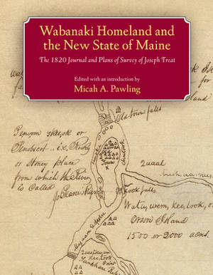
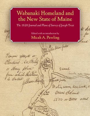
Wabanaki Homeland and the New State of Maine
The 1820 Journal and Plans of Survey of Joseph Treat
39,45 €
+ 78 points
Description
In late September 1820, hoping to lay claim to territory then under dispute between Great Britain and the United States, Governor William King of the newly founded state of Maine dispatched Major Joseph Treat to survey public lands on the Penobscot and Saint John Rivers. Traveling well beyond the limits of colonial settlement, Treat relied heavily on the cultural knowledge and expertise of John Neptune, lieutenant governor of the Penobscot tribe, to guide him across the Wabanaki homeland. Along the way Treat recorded his daily experiences in a journal and drew detailed maps, documenting the interactions of the Wabanaki peoples with the land and space they knew as home. Edited, annotated, and with an introduction by Micah Pawling, this volume includes a complete transcription of Treat's journal, reproductions of dozens of hand-drawn maps, and records pertaining to the 1820 treaty between the Penobscot Nation and the governing authorities of Maine. As Pawling points out, Treat's journal offers more than the observations of a state agent conducting a survey. It re-creates a dialogue between Euro-Americans and Native peoples, showing how different perceptions of the land were negotiated and disseminated, and exposing the tensions that surfaced when assumptions and expectations clashed. In large part because of Neptune's influence, the maps, in addition to detailing the location of Wabanaki settlements, reflect a river-oriented Native perspective that would later serve as a key to Euro-American access to the region's interior. The groundwork for cooperation between Treat and Neptune had been laid during the 1820 treaty negotiations, in which both men participated and which were successfully concluded just over a month before their expedition departed from Bangor, Maine. Despite conflicting interests and mutual suspicions, they were able to work together and cultivate a measure of trust as they traveled across northern Maine and western New Brunswick, mapping an old world together while envisioning its uncertain future.
Spécifications
Parties prenantes
- Editeur:
Contenu
- Nombre de pages :
- 320
- Langue:
- Anglais
- Collection :
Caractéristiques
- EAN:
- 9781558495784
- Date de parution :
- 09-05-07
- Format:
- Livre relié
- Format numérique:
- Genaaid
- Dimensions :
- 185 mm x 235 mm
- Poids :
- 748 g

Les avis
Nous publions uniquement les avis qui respectent les conditions requises. Consultez nos conditions pour les avis.


