- Retrait gratuit dans votre magasin Club
- 7.000.000 titres dans notre catalogue
- Payer en toute sécurité
- Toujours un magasin près de chez vous
- Retrait gratuit dans votre magasin Club
- 7.000.0000 titres dans notre catalogue
- Payer en toute sécurité
- Toujours un magasin près de chez vous
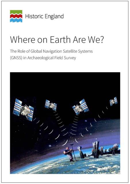
Where on Earth Are We?
The Role of Global Navigation Satellite Systems (Gnss) in Archaeological Field Survey
13,95 €
+ 27 points
Description
This is a revised version of the 2003 edition of this guidance document. It takes into account developments in technology that have occurred during the past decade drawing upon the practical experience of Historic England field teams. The guidance begins with a brief, non-specialist introduction to how the technology works, followed by more detailed consideration of scale and accuracy and the importance of transforming coordinates to the Ordnance Survey National Grid.
There is a wide variety of different satellite receivers available for use in survey and the guidance gives a brief overview of the main types and advises on the appropriate use of different receivers for archaeological mapping. The guidance gives advice on how Historic England field teams undertake landscape survey using this technology, aspects of which are further explored through several case studies. The publication concludes with a brief look at future developments including the growing use of smartphone technology for mapping and data collection in the field.Spécifications
Parties prenantes
- Editeur:
Contenu
- Nombre de pages :
- 34
- Langue:
- Anglais
- Collection :
Caractéristiques
- EAN:
- 9781848024335
- Date de parution :
- 26-06-15
- Format:
- Livre broché
- Format numérique:
- Trade paperback (VS)
- Dimensions :
- 210 mm x 297 mm

Les avis
Nous publions uniquement les avis qui respectent les conditions requises. Consultez nos conditions pour les avis.


