- Retrait gratuit dans votre magasin Club
- 7.000.000 titres dans notre catalogue
- Payer en toute sécurité
- Toujours un magasin près de chez vous
- Retrait gratuit dans votre magasin Club
- 7.000.0000 titres dans notre catalogue
- Payer en toute sécurité
- Toujours un magasin près de chez vous
Résultats pour "Trails Illustrated Maps"
-
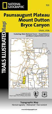
Mount Dutton - Aquarius Plateau /UT
- This map covers the spectacularly scenic stretch in southern Utah of the Powell and Escalante Ranger Districts of Dixie National Forest—from Bicknell ... Savoir plus
15,95 €Livraison 1 à 2 semaines15,95 €Livraison 1 à 2 semaines -
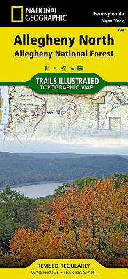
Allegheny North (Allegheny Nat. Forest) /PA
- National Geographic's Trails Illustrated map of Allegheny North delivers unmatched detail and valuable information to assist you in your exploration o... Savoir plus
15,95 €Livraison 1 à 2 semaines15,95 €Livraison 1 à 2 semaines -
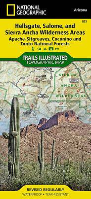
Hellsgate, Salome, Sierra Ancha Wilderness Areas /AZ
- One of the largest national forests in the United States, Tonto National Forest is known not only for its diversity of terrain, flora and fauna but al... Savoir plus
15,95 €Livraison 1 à 2 semaines15,95 €Livraison 1 à 2 semaines -
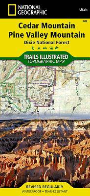
Cedar Mountain - Asdown Gorge /UT
- Cedar City is the headquarters of the Dixie National Forest which is a two-million-acre, 170-mile stretch of breathtaking wilderness across southern U... Savoir plus
15,95 €Livraison 1 à 2 semaines15,95 €Livraison 1 à 2 semaines -
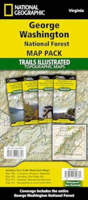
George Washington Nat. Forest Map Pack /VA
- Explore the natural beauty, historical sites, and many recreation opportunities available in southern Virginia with National Geographic's Trails Illus... Savoir plus
49,95 €Livraison 1 à 2 semaines49,95 €Livraison 1 à 2 semaines -
Aspen / Independence Pass /CO
- National Geographic's Trails Illustrated map of Aspen and Independence Pass delivers unmatched detail and valuable information to assist you in your e... Savoir plus
15,95 €Livraison 1 à 2 semaines15,95 €Livraison 1 à 2 semaines -
Big Sur / Ventana Wilderness /CA
- National Geographic's Trails Illustrated map of Big Sur, Ventana Wilderness combines unmatched detail with helpful information to offer an invaluable ... Savoir plus
15,95 €Livraison 1 à 2 semaines15,95 €Livraison 1 à 2 semaines -
Sequoia & Kings Canyon NP /CA
- In Sequioa and Kings Canyon National Parks you can walk among the world's largest trees, hike the alpine landscape of the Sierra Crest, and marvel at ... Savoir plus
15,95 €Livraison 1 à 2 semaines15,95 €Livraison 1 à 2 semaines -
Jasper North - Jasper NP
- The largest park in the Canadian Rockies, Jasper National Park is a UNESCO World Heritage Site with breathtaking mountain scenery and bountiful recrea... Savoir plus
15,95 €Livraison 1 à 2 semaines15,95 €Livraison 1 à 2 semaines -
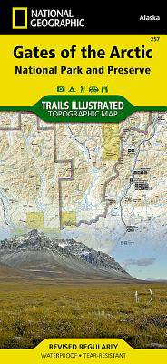
Gates of the Arctic /AK
- Let National Geographic's Trails Illustrated map for Gates of the Arctic National Park and Preserve guide you on your adventure in this remote wildern... Savoir plus
15,95 €Livraison 1 à 2 semaines15,95 €Livraison 1 à 2 semaines -
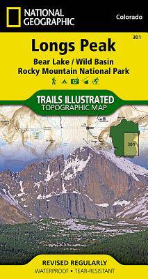
Longs Peak / Bear Lake / Wild Basin / Rocky Mountain NP /CO
- Towering over the Rocky Mountains stands the 14,259 foot high Longs Peak. National Geographic's Trails Illustrated map of Longs Peak and the surroundi... Savoir plus
13,50 €Livraison 1 à 2 semaines13,50 €Livraison 1 à 2 semaines -
Apache Creek, Juniper Mesa /AZ
- Outdoor enthusiasts adventuring through the northern half of Prescott National Forest will find National Geographic's Trails Illustrated map of Apache... Savoir plus
15,95 €Livraison 1 à 2 semaines15,95 €Livraison 1 à 2 semaines -
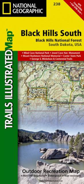
Black Hills South / Black Hills National Forest /SD
- National Geographic's Trails Illustrated map of Kenai Fjords National Park is an essential travel companion for outdoor enthusiasts looking to explore... Savoir plus
15,95 €Livraison 1 à 2 semaines15,95 €Livraison 1 à 2 semaines -
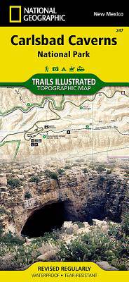
Carlsbad Caverns NP /NM
- National Geographic's Trails Illustrated map of Carlsbad Caverns National Park is the most comprehensive map available for those exploring both above ... Savoir plus
15,95 €Livraison 1 à 2 semaines15,95 €Livraison 1 à 2 semaines -
Weminuche Wilderness /CO
- The Weminuche Wilderness spans the Continental Divide and at nearly a half million acres is the largest wilderness area in Colorado. Expertly research... Savoir plus
15,95 €Livraison 1 à 2 semaines15,95 €Livraison 1 à 2 semaines -
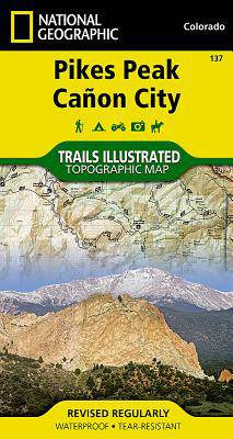
Pikes Peak / Cañon City /CO
- The highest summit in the southern Front Range of the Rocky Mountains, Pikes Peak towers over Colorado Springs like a granite sentinel. Explore this a... Savoir plus
15,95 €Livraison 1 à 2 semaines15,95 €Livraison 1 à 2 semaines -
Linville Gorge / Mt. Mitchell /NC
- Expertly researched and created in partnership with local land management agencies, National Geographic's Trails Illustrated map of Linville Gorge and... Savoir plus
15,95 €Livraison 1 à 2 semaines15,95 €Livraison 1 à 2 semaines -
Bozeman / Big Sky / Bridger Range /MT
- Located just north of Yellowstone National Park, Absaroka-Beartooth Wilderness is known for it high peaks and alpine plateaus. Experienced and novice ... Savoir plus
15,95 €Livraison 1 à 2 semaines15,95 €Livraison 1 à 2 semaines -
La Garita - Cochetopa /CO
- Expertly researched and created in partnership with the U.S. Forest Service, Bureau of Land Manangement and others, National Geographic's Trails Illus... Savoir plus
15,95 €Livraison 1 à 2 semaines15,95 €Livraison 1 à 2 semaines -
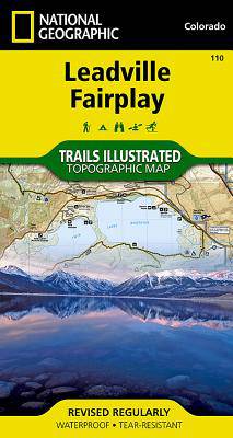
Leadville Fairplay /CO
- Nestled in a high mountain valley surrounded by snowcapped peaks, former mining town Leadville, Colorado is the highest incorporated city in the Unite... Savoir plus
15,95 €Livraison 1 à 2 semaines15,95 €Livraison 1 à 2 semaines -
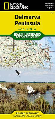
Delmarva Peninsula
- Expertly researched and created in partnership with local land management agencies, National Geographic's Trails Illustrated map of Delmarva Peninsula... Savoir plus
15,95 €Livraison 1 à 2 semaines15,95 €Livraison 1 à 2 semaines -
Mount Whitney /CA
- America's most visited national park and a UNESCO World Heritage Site, Great Smoky Mountains National Park is both renowned for its diversity of plant... Savoir plus
13,50 €Livraison 1 à 2 semaines13,50 €Livraison 1 à 2 semaines -
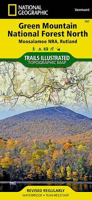
Green Mountain Nat.Forest North /VT
- The Green Mountain National Forest encompasses more than 400,000 acres in southwestern and central Vermont, forming the largest contiguous public land... Savoir plus
15,95 €Livraison 1 à 2 semaines15,95 €Livraison 1 à 2 semaines -
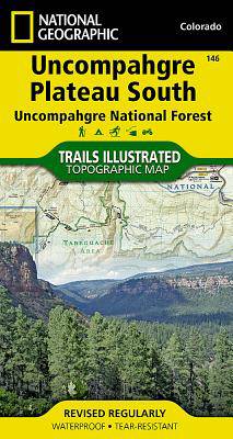
Uncompahgre Plateau Zuid /CO
- National Geographic's Trails Illustrated map of Uncompahgre Plateau South is created for outdoor enthusiasts exploring the year-round recreational opp... Savoir plus
15,95 €Livraison 1 à 2 semaines15,95 €Livraison 1 à 2 semaines


