- Retrait gratuit dans votre magasin Club
- 7.000.000 titres dans notre catalogue
- Payer en toute sécurité
- Toujours un magasin près de chez vous
- Retrait gratuit dans votre magasin Club
- 7.000.000 titres dans notre catalogue
- Payer en toute sécurité
- Toujours un magasin près de chez vous
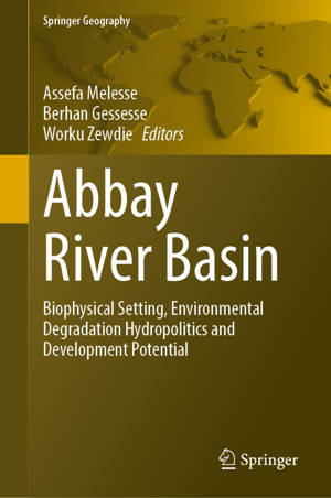
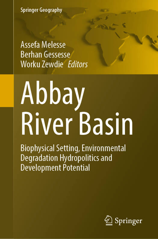
Abbay River Basin
Biophysical Setting, Environmental Degradation, Hydropolitics and Development Potential
Description
The book focuses on the Abbay Basin biophysical setting, the status of natural resources and degradation processes, agricultural practices, environmental resource conservation efforts, and the role of Earth observation and geospatial technologies in monitoring and planning for the wise utilization of natural resources under severe land resource degradation and climate change. It provides a collection of techniques and syntheses from the perspectives of geospatial science and technology application dimensions as well as legal and sociopolitical circumstances. It utilizes comprehensive data, algorithms, methods, and tools to produce and disseminate high-quality information for the Abbay Basin. It also produces empirical data and knowledge on what has been done thus far regarding the application of EO data and geospatial technologies for sustainable utilization of natural resources in the Abbay Basin and synthesizes previous studies to develop strong and consolidated information on the basin. The book will also have distinct outlooks on the purpose and contribution of satellite imagery and geospatial data as well as improved analytics for basin-wide resource management.
Spécifications
Parties prenantes
- Editeur:
Contenu
- Nombre de pages :
- 800
- Langue:
- Anglais
- Collection :
Caractéristiques
- EAN:
- 9783031652400
- Date de parution :
- 13-04-25
- Format:
- Livre relié
- Format numérique:
- Genaaid
- Dimensions :
- 155 mm x 235 mm


