- Retrait gratuit dans votre magasin Club
- 7.000.000 titres dans notre catalogue
- Payer en toute sécurité
- Toujours un magasin près de chez vous
- Retrait gratuit dans votre magasin Club
- 7.000.0000 titres dans notre catalogue
- Payer en toute sécurité
- Toujours un magasin près de chez vous
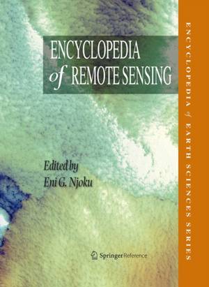
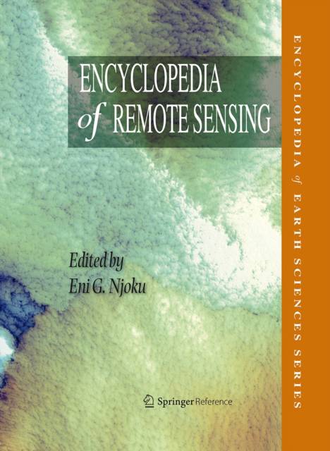
Encyclopedia of Remote Sensing
Description
With its multi-disciplinary approach, The Encyclopedia of Remote Sensing provides a single source spanning the foundations, principles, and state of the science in the field of remote sensing. This first encyclopedic reference dedicated to remote sensing covers concepts, techniques, instrumentation, data analysis, interpretation, and international policy. Moreover, it explores both airborne and space-based applications.
The Encyclopedia of Remote Sensing is an excellent starting point for anyone researching remote sensing, a field which has revolutionized the study of the Earth. Its clear entries provide a solid base of dependable information, and its many references enable readers to continue gathering more detailed information on any particular topic.
Scientists, engineers, academics, policy makers and students can turn to this encyclopedia for quick answers to questions and further direction for continuing their research.
Spécifications
Parties prenantes
- Editeur:
Contenu
- Nombre de pages :
- 939
- Langue:
- Anglais
- Collection :
Caractéristiques
- EAN:
- 9780387366982
- Date de parution :
- 24-12-13
- Format:
- Livre relié
- Format numérique:
- Genaaid
- Dimensions :
- 218 mm x 284 mm
- Poids :
- 2871 g

Les avis
Nous publions uniquement les avis qui respectent les conditions requises. Consultez nos conditions pour les avis.


