En raison d'une grêve chez bpost, votre commande pourrait être retardée. Vous avez besoin d’un livre rapidement ? Nos magasins vous accueillent à bras ouverts !
- Retrait gratuit dans votre magasin Club
- 7.000.000 titres dans notre catalogue
- Payer en toute sécurité
- Toujours un magasin près de chez vous
En raison de la grêve chez bpost, votre commande pourrait être retardée. Vous avez besoin d’un livre rapidement ? Nos magasins vous accueillent à bras ouverts !
- Retrait gratuit dans votre magasin Club
- 7.000.0000 titres dans notre catalogue
- Payer en toute sécurité
- Toujours un magasin près de chez vous
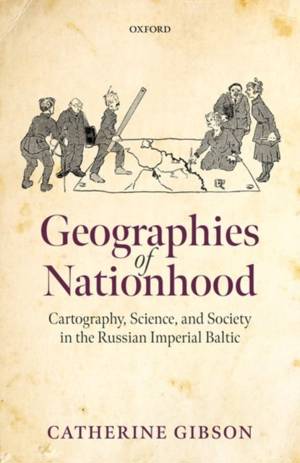
Geographies of Nationhood
Cartography, Science, and Society in the Russian Imperial Baltic
Catherine Gibson
177,45 €
+ 354 points
Description
Geographies of Nationhood examines the meteoric rise of ethnographic mapmaking in the nineteenth and early twentieth centuries as a form of visual and material culture that gave expression to territorialised visions of nationhood. In the Russian Empire's Baltic provinces, the development of ethnographic cartography, as part of the broader field of statistical data visualisation, progressively became a tool that lent legitimacy and an experiential dimension to nationalist arguments, as well as a wide range of alternative spatial configurations that rendered the inhabitants of the Baltic as part of local, imperial, and global geographies. Catherine Gibson argues that map production and the spread of cartographic literacy as a mass phenomenon in Baltic society transformed how people made sense of linguistic, ethnic, and religious similarities and differences by imbuing them with an alleged scientific objectivity that was later used to determine the political structuring of the Baltic region and beyond. Geographies of Nationhood treads new ground by expanding the focus beyond elites to include a diverse range of mapmakers, such as local bureaucrats, commercial enterprises, clergymen, family members, teachers, and landowners. It shifts the focus from imperial learned and military institutions to examine the proliferation of mapmaking across diverse sites in the Empire, including the provincial administration, local learned societies, private homes, and schools. Understanding ethnographic maps in the social context of their production, circulation, consumption, and reception is crucial for assessing their impact as powerful shapers of popular geographical conceptions of nationhood, state-building, and border-drawing.
Spécifications
Parties prenantes
- Auteur(s) :
- Editeur:
Contenu
- Nombre de pages :
- 288
- Langue:
- Anglais
- Collection :
Caractéristiques
- EAN:
- 9780192844323
- Date de parution :
- 30-06-22
- Format:
- Livre relié
- Format numérique:
- Genaaid
- Dimensions :
- 162 mm x 240 mm
- Poids :
- 712 g

Les avis
Nous publions uniquement les avis qui respectent les conditions requises. Consultez nos conditions pour les avis.


