En raison d'une grêve chez bpost, votre commande pourrait être retardée. Vous avez besoin d’un livre rapidement ? Nos magasins vous accueillent à bras ouverts !
- Retrait gratuit dans votre magasin Club
- 7.000.000 titres dans notre catalogue
- Payer en toute sécurité
- Toujours un magasin près de chez vous
En raison de la grêve chez bpost, votre commande pourrait être retardée. Vous avez besoin d’un livre rapidement ? Nos magasins vous accueillent à bras ouverts !
- Retrait gratuit dans votre magasin Club
- 7.000.0000 titres dans notre catalogue
- Payer en toute sécurité
- Toujours un magasin près de chez vous
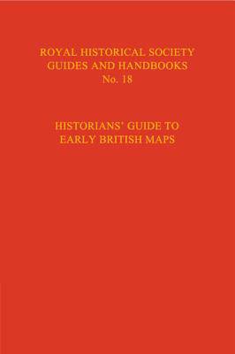
Historian's Guide to Early British Maps
A Guide to the Location of Pre-1900 Maps of the British Isles Preserved in the United Kingdom and Ireland
115,45 €
+ 230 points
Description
Great Britain and Ireland enjoy a rich cartographic heritage, yet historians have not made full use of early maps in their writings and research. This is partly due to a lack of information about exactly which maps are available. With the publication of this volume from the Royal Historical Society in 1994, we now have a comprehensive guide to the early maps of Great Britain. Now available from Cambridge University Press, this volume provides an essential reference tool for anyone requiring to access maps of the British Isles dating back to the medieval period and beyond.
Spécifications
Parties prenantes
- Editeur:
Contenu
- Nombre de pages :
- 475
- Langue:
- Anglais
- Collection :
- Tome:
- n° 18
Caractéristiques
- EAN:
- 9780521551526
- Date de parution :
- 28-04-95
- Format:
- Livre relié
- Format numérique:
- Genaaid
- Dimensions :
- 150 mm x 238 mm
- Poids :
- 748 g

Les avis
Nous publions uniquement les avis qui respectent les conditions requises. Consultez nos conditions pour les avis.


