- Retrait gratuit dans votre magasin Club
- 7.000.000 titres dans notre catalogue
- Payer en toute sécurité
- Toujours un magasin près de chez vous
- Retrait gratuit dans votre magasin Club
- 7.000.000 titres dans notre catalogue
- Payer en toute sécurité
- Toujours un magasin près de chez vous
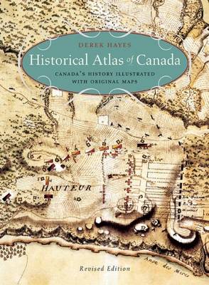
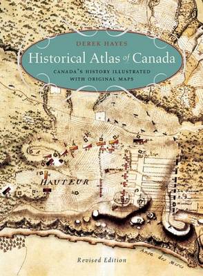
Historical Atlas of Canada
Canada's History Illustrated with Original Maps
Derek Hayes
Livre broché | Anglais
37,45 €
+ 74 points
Description
Maps tells the story in this innovative volume, and the story of Canada they tell is profoundly engrossing and rewarding. The atlas covers a period of a thousand years and contains essentially all the historically significant maps of the country. Gathered from major archives and libraries all over the world, they include treasures from the National Archives of Canada--many never before published--and many from the archives of the Hudson's Bay Company. Included are maps by the founder of New France, Samuel de Champlain, by Philip Turnor and Peter Fidler. There are English maps and French maps; Spanish maps and Russian maps; American, Italian and Dutch maps as well as maps drawn by Native people such as the Beothuk, Blackfoot and Cree. Canada's colourful past unfolds in sumptuous visual detail--history seen from a whole new perspective.
Spécifications
Parties prenantes
- Auteur(s) :
- Editeur:
Contenu
- Nombre de pages :
- 272
- Langue:
- Anglais
Caractéristiques
- EAN:
- 9781771620796
- Date de parution :
- 10-11-15
- Format:
- Livre broché
- Format numérique:
- Trade paperback (VS)
- Dimensions :
- 251 mm x 343 mm
- Poids :
- 1564 g


