- Retrait gratuit dans votre magasin Club
- 7.000.000 titres dans notre catalogue
- Payer en toute sécurité
- Toujours un magasin près de chez vous
- Retrait gratuit dans votre magasin Club
- 7.000.000 titres dans notre catalogue
- Payer en toute sécurité
- Toujours un magasin près de chez vous
64,95 €
+ 129 points
Format
Description
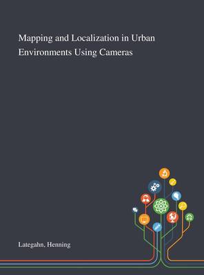
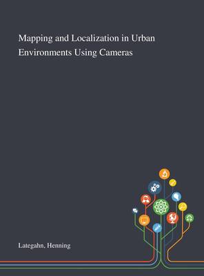
In this work we present a system to fully automatically create a highly accurate visual feature map from image data aquired from within a moving vehicle. Moreover, a system for high precision self localization is presented. Furthermore, we present a method to automatically learn a visual descriptor. The map relative self localization is centimeter accurate and allows autonomous driving. This work was published by Saint Philip Street Press pursuant to a Creative Commons license permitting commercial use. All rights not granted by the work's license are retained by the author or authors.
Spécifications
Parties prenantes
- Auteur(s) :
- Editeur:
Contenu
- Nombre de pages :
- 138
- Langue:
- Anglais
Caractéristiques
- EAN:
- 9781013282256
- Date de parution :
- 09-10-20
- Format:
- Livre relié
- Format numérique:
- Genaaid
- Dimensions :
- 216 mm x 280 mm
- Poids :
- 612 g

Les avis
Nous publions uniquement les avis qui respectent les conditions requises. Consultez nos conditions pour les avis.


