En raison d'une grêve chez bpost, votre commande pourrait être retardée. Vous avez besoin d’un livre rapidement ? Nos magasins vous accueillent à bras ouverts !
- Retrait gratuit dans votre magasin Club
- 7.000.000 titres dans notre catalogue
- Payer en toute sécurité
- Toujours un magasin près de chez vous
En raison de la grêve chez bpost, votre commande pourrait être retardée. Vous avez besoin d’un livre rapidement ? Nos magasins vous accueillent à bras ouverts !
- Retrait gratuit dans votre magasin Club
- 7.000.0000 titres dans notre catalogue
- Payer en toute sécurité
- Toujours un magasin près de chez vous
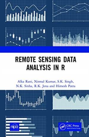
Remote Sensing Data Analysis in R
Alka Rani, Nirmal Kumar, S K Singh, N K Sinha, R K Jena, Himesh Patra
Livre relié | Anglais
131,45 €
+ 262 points
Description
Remote Sensing Data Analysis in R is a guide book containing codes for most of the operations which are being performed for analysing any satellite data for deriving meaningful information. The goal of this book is to provide hands on experience in performing all the activities from the loading of raster and vector data, mapping or visualisation of data, pre-processing, calculation of indices, classification and advanced machine learning algorithms on remote sensing data in R. The reader will be able to acquire skills to carry out most of the operations of raster data analysis - more flexibly - in open-source freely available software i.e. R which are generally available in the paid digital image processing software. Note: T& F does not sell or distribute the Hardback in India, Pakistan, Nepal, Bhutan, Bangladesh and Sri Lanka. The title is co-published with New India Publishing Agency.
Spécifications
Parties prenantes
- Auteur(s) :
- Editeur:
Contenu
- Nombre de pages :
- 364
- Langue:
- Anglais
Caractéristiques
- EAN:
- 9780367725624
- Date de parution :
- 24-02-21
- Format:
- Livre relié
- Format numérique:
- Genaaid
- Dimensions :
- 152 mm x 229 mm
- Poids :
- 829 g

Les avis
Nous publions uniquement les avis qui respectent les conditions requises. Consultez nos conditions pour les avis.


