En raison d'une grêve chez bpost, votre commande pourrait être retardée. Vous avez besoin d’un livre rapidement ? Nos magasins vous accueillent à bras ouverts !
- Retrait gratuit dans votre magasin Club
- 7.000.000 titres dans notre catalogue
- Payer en toute sécurité
- Toujours un magasin près de chez vous
En raison de la grêve chez bpost, votre commande pourrait être retardée. Vous avez besoin d’un livre rapidement ? Nos magasins vous accueillent à bras ouverts !
- Retrait gratuit dans votre magasin Club
- 7.000.0000 titres dans notre catalogue
- Payer en toute sécurité
- Toujours un magasin près de chez vous
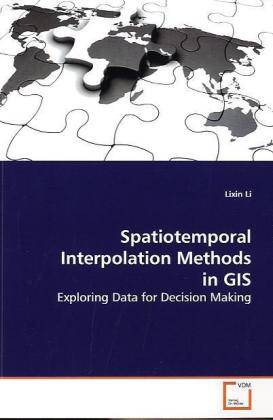
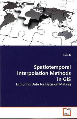
Spatiotemporal Interpolation Methods in GIS
Exploring Data for Decision Making
Lixin Li
Livre broché | Anglais
48,45 €
+ 96 points
Description
Exploring large data sets with the aim of extracting useful information for decision making can be challenging. If the data were collected at different locations and times, one important question is how to obtain reliable estimates for missing data in space or time. For example, measurements such as ozone concentrations are usually collected only by a limited number of monitoring stations and at different time instances. In order to estimate the values at unmeasured locations or time instances, interpolation in continuous space and time is needed. New and old interpolation methods for exploring spatiotemporal data are discussed in this book. The selected methods are useful for Geographic Information Systems (GIS). This book also includes comparisons of selected methods for several GIS case studies, as well as some visualization and query examples.
Spécifications
Parties prenantes
- Auteur(s) :
- Editeur:
Contenu
- Nombre de pages :
- 120
- Langue:
- Anglais
Caractéristiques
- EAN:
- 9783639155570
- Date de parution :
- 14-06-09
- Format:
- Livre broché
- Format numérique:
- Trade paperback (VS)
- Dimensions :
- 152 mm x 229 mm
- Poids :
- 185 g

Les avis
Nous publions uniquement les avis qui respectent les conditions requises. Consultez nos conditions pour les avis.


