En raison d'une grêve chez bpost, votre commande pourrait être retardée. Vous avez besoin d’un livre rapidement ? Nos magasins vous accueillent à bras ouverts !
- Retrait gratuit dans votre magasin Club
- 7.000.000 titres dans notre catalogue
- Payer en toute sécurité
- Toujours un magasin près de chez vous
En raison de la grêve chez bpost, votre commande pourrait être retardée. Vous avez besoin d’un livre rapidement ? Nos magasins vous accueillent à bras ouverts !
- Retrait gratuit dans votre magasin Club
- 7.000.0000 titres dans notre catalogue
- Payer en toute sécurité
- Toujours un magasin près de chez vous
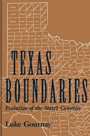
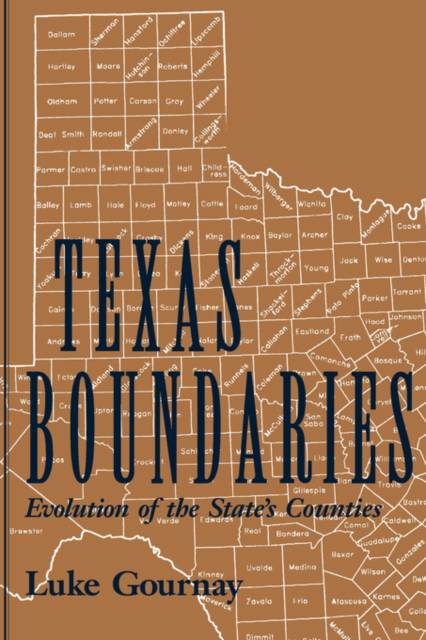
Texas Boundaries
Evolution of the State's Counties Volume 59
Luke Gournay
Livre broché | Anglais | Centennial the Association of Former Students, Texas A&m University | n° 59
25,45 €
+ 50 points
Description
"Draw a map for me so I can understand it," a prominent physicist once said when presented with a bold new theory. The history of Texas is here made understandable through its changing maps--an atlas of Texas' geographical and political evolution. From the early boundaries of New Spain, through the 23 poorly defined territories (called municipalities) that existed in 1836, to the 254 governmental bodies we know as counties, the drawing of these geo-political units reflect both the history of the state and the passions and philosophy that underlie it. The steady progression of Texas county maps over time reflected the migration of tens of thousands of people from the United States and numerous other countries. As population increased and moved westward, the need arose for county courthouses and offices closer to the people. To accommodate the populace, new counties were created from larger ones and from land districts. Every time a new county was formed, Texas had a new map. This fascinating book documents the development of the Texas map through county creations. Behind the maps are the stories of the founders of the new counties, actions of the governmental body that created the county, the choice of a name for the county, and colorful stories about the selection of many county seats. Texas Boundaries provides historians, genealogists, and others interested in Texas with a concise, consolidated reference to the changes in boundary that have been part of the state's experience since the earliest days. Luke Gournay, who holds a Ph.D. in physics from the University of Colorado, has had a distinguished career in scientific research and as a consultant. He has served as adjunct professor at Southern Methodist University and the University of Texas at Arlington and has published articles in numerous scientific journals. In recent years, he has pursued research on Texas and Southwest history. He lives in Kerrville, Texas, where he does freelance writing and has begun the transformation of his Hill Country land into native grassland pasture. The history of Texas is mapped out in this new atlas of Texas' geographical and political evolution. Texas Boundaries provides a concise, consolidated reference to the changes in boundaries that have been part of the state's experience since the earliest days. From the early boundaries of New Spain, through the 23 poorly defined territories (called municipalities) that existed in 1836, to the 254 governmental bodies we know as counties, the drawing of these geo-political units reflects both the history of the state and the passions and philosophy that underlie it. As population increased and moved westward, more county courthouses were needed to accommodate the new residents in remote areas. To accommodate the populace, new counties were created from larger ones and from land districts. Every time a new county was formed, Texas had a new map. This fascinating book documents the development of the Texas map through county creations. Behind the maps are the stories of the founders of the new counties, actions of the governmental body that created the county, the choice of a name for the county, and colorful stories about the selection of many county seats.
Spécifications
Parties prenantes
- Auteur(s) :
- Editeur:
Contenu
- Nombre de pages :
- 152
- Langue:
- Anglais
- Collection :
- Tome:
- n° 59
Caractéristiques
- EAN:
- 9781585442034
- Date de parution :
- 01-04-02
- Format:
- Livre broché
- Format numérique:
- Trade paperback (VS)
- Dimensions :
- 150 mm x 231 mm
- Poids :
- 249 g

Les avis
Nous publions uniquement les avis qui respectent les conditions requises. Consultez nos conditions pour les avis.


