
- Retrait gratuit dans votre magasin Club
- 7.000.000 titres dans notre catalogue
- Payer en toute sécurité
- Toujours un magasin près de chez vous
- Retrait gratuit dans votre magasin Club
- 7.000.0000 titres dans notre catalogue
- Payer en toute sécurité
- Toujours un magasin près de chez vous


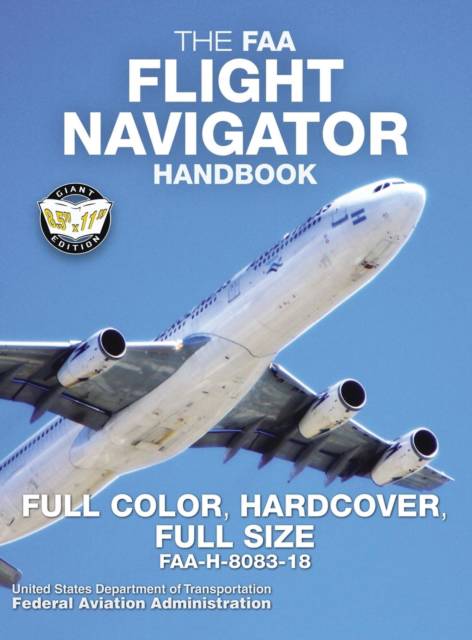
The FAA Flight Navigator Handbook - Full Color, Hardcover, Full Size
FAA-H-8083-18 - Giant 8.5" x 11" Size, Full Color Throughout, Durable Hardcover Binding
Federal Aviation Administration
50,45 €
+ 100 points
Description
THE ESSENTIAL GUIDE TO PRACTICAL, SAFE AIR NAVIGATION
- FULL COLOR THROUGHOUT: the theory and practice of air navigation cannot be fully explained or adequately understood with black-and-white illustrations; color is vital. This edition uses full color from start to finish.
- FULL-SIZE 8.5" x 11" edition: large, easy-to-read text and illustrations.
- CASEBOUND: hardcover binding looks great and protects your book from everyday damage.
- Printed on PREMIUM-WEIGHT 70 lb paper stock for superior quality & longevity: ideal for professional libraries!
Aviators use air navigation to determine where they are going and how to get there. This handbook serves as a reference for techniques and methods used in these critical skills, covering all aspects of air navigation for navigators and students, including how to measure, chart the earth, and use flight instruments to solve navigation problems.
It also provides information on flight publications, in-flight procedures and low-altitude navigation, and includes reference and supporting material covering mathematical equations, chart and navigational symbols, and celestial computation aids.
MAPS & CHARTS - FLIGHT PLANNING - BASIC INSTRUMENTS - DEAD RECKONING - RADIO AID FIXING - MAP READING - RADAR NAVIGATION - CELESTIAL CONCEPTS - COMPUTING ALTITUDE AND TRUE AZIMUTH - CELESTIAL PRECOMPUTATION - PLOTTING & INTERPRETING THE CELESTIAL LINE OF POSITION - SPECIAL CELESTIAL TECHNIQUES - SEXTANTS & ERRORS OF OBSERVATION - GRID NAVIGATION - PRESSURE PATTERN NAVIGATION - NAVIGATION SYSTEMS - REFERENCES - MATHEMATICAL FORMULAS - CHART & NAVIGATION SYMBOLS - CELESTIAL COMPUTATION SHEET - GLOSSARY - INDEX
Proudly published in the USA by Carlile Aviation Library
Spécifications
Parties prenantes
- Auteur(s) :
- Editeur:
Contenu
- Nombre de pages :
- 284
- Langue:
- Anglais
- Collection :
- Tome:
- n° 6
Caractéristiques
- EAN:
- 9781949117073
- Date de parution :
- 04-07-19
- Format:
- Livre relié
- Format numérique:
- Genaaid
- Dimensions :
- 216 mm x 279 mm
- Poids :
- 1174 g

Les avis
Nous publions uniquement les avis qui respectent les conditions requises. Consultez nos conditions pour les avis.