En raison d'une grêve chez bpost, votre commande pourrait être retardée. Vous avez besoin d’un livre rapidement ? Nos magasins vous accueillent à bras ouverts !
- Retrait gratuit dans votre magasin Club
- 7.000.000 titres dans notre catalogue
- Payer en toute sécurité
- Toujours un magasin près de chez vous
En raison de la grêve chez bpost, votre commande pourrait être retardée. Vous avez besoin d’un livre rapidement ? Nos magasins vous accueillent à bras ouverts !
- Retrait gratuit dans votre magasin Club
- 7.000.0000 titres dans notre catalogue
- Payer en toute sécurité
- Toujours un magasin près de chez vous
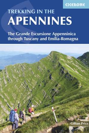
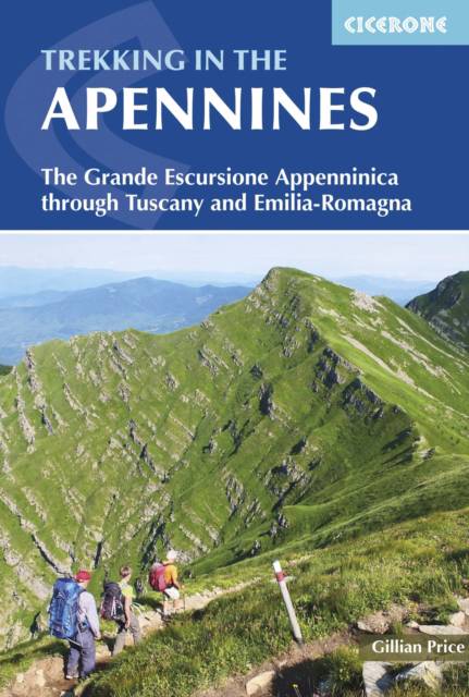
Trekking in the Apennines
The Grande Escursione Appenninica Through Tuscany and Emilia-Romagna
Gillian Price
20,95 €
+ 41 points
Description
Guidebook to the Grand Apennines Trek, or Grande Escursione Appenninica (GEA), a 400km trail through Tuscany and Emilia-Romagna and 2 national parks. Suitable for a range of walkers, the trail is best walked in spring through to autumn and takes 23 days to complete. It can be split into shorter sections or day walks if needed.
- The route is presented here in 23 stages ranging from 8 to 25km
- Mapping, profiles and detailed route descriptions for each stage
- Centres include Abetone, Arezzo, Bibbiena, Bologna, Parma, Pieve Pelago, Pistoia, Pontremoli, Porretta Terme, Prato, Reggio Emilia and Sansepolcro
- Highlights include the Casentino National Park and Franciscan sanctuaries, the WW2 Gothic line, open ridges on the northern stretch, alpine-style lakes in the Apennines National Park, Monte Prado, Tuscany's highest peak (2054m), magnificent beech woods and alpine flowers
- Handy route summary table, comprehensive planning information, plus Italian-English Glossary and advice on breaking the route down into smaller walks
Spécifications
Parties prenantes
- Auteur(s) :
- Editeur:
Contenu
- Nombre de pages :
- 160
- Langue:
- Anglais
- Collection :
Caractéristiques
- EAN:
- 9781852847661
- Date de parution :
- 30-06-16
- Format:
- Livre broché
- Format numérique:
- Trade paperback (VS)
- Dimensions :
- 119 mm x 176 mm
- Poids :
- 176 g

Les avis
Nous publions uniquement les avis qui respectent les conditions requises. Consultez nos conditions pour les avis.


