
En raison d'une grêve chez bpost, votre commande pourrait être retardée. Vous avez besoin d’un livre rapidement ? Nos magasins vous accueillent à bras ouverts !
- Retrait gratuit dans votre magasin Club
- 7.000.000 titres dans notre catalogue
- Payer en toute sécurité
- Toujours un magasin près de chez vous
En raison de la grêve chez bpost, votre commande pourrait être retardée. Vous avez besoin d’un livre rapidement ? Nos magasins vous accueillent à bras ouverts !
- Retrait gratuit dans votre magasin Club
- 7.000.0000 titres dans notre catalogue
- Payer en toute sécurité
- Toujours un magasin près de chez vous


Description
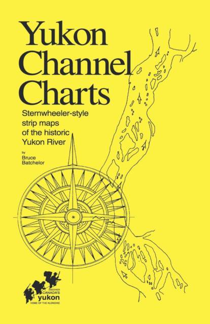
Maps of the Yukon River (Yukon Territory, Canada) drawn in historical style as used by pilots of the paddlewheelers on the famous "Trail of '98" gold rush to the Klondike. Short stories and 42 photos in this 68 page, spiral-bound book provide personal insights into contemporary river lifestyles and the rich history of the Yukon River.
This is the third edition of this regional bestseller-- it was first published in 1975 and revised in 1980-- over 4,000 copies have been sold to canoeists, rafters and other adventurers who have taken this spectacular wilderness voyage. It includes 64 "strip maps" which illustrate the route from Whitehorse to Dawson City.
Spécifications
Parties prenantes
- Auteur(s) :
- Editeur:
Contenu
- Nombre de pages :
- 74
- Langue:
- Anglais
Caractéristiques
- EAN:
- 9781552120002
- Date de parution :
- 21-04-97
- Format:
- Livre broché
- Format numérique:
- Trade paperback (VS)
- Dimensions :
- 140 mm x 216 mm
- Poids :
- 104 g

Les avis
Nous publions uniquement les avis qui respectent les conditions requises. Consultez nos conditions pour les avis.