- Retrait gratuit dans votre magasin Club
- 7.000.000 titres dans notre catalogue
- Payer en toute sécurité
- Toujours un magasin près de chez vous
- Retrait gratuit dans votre magasin Club
- 7.000.0000 titres dans notre catalogue
- Payer en toute sécurité
- Toujours un magasin près de chez vous
Résultats pour "Wander-Rad-Freizeitkarte"
-
Kitzbühel - Kaisergebirge - Kufstein
- Thanks to the detailed digital cartography and precise scales, freytag & berndt hiking maps are ideal companions for hiking, mountaineering and ski to... Savoir plus
12,90 €Livraison 1 à 2 semaines12,90 €Livraison 1 à 2 semaines -
Thayatal NP -Znaim-Retz-Gars-am-Kamp
- Thanks to the detailed digital cartography and the precise scales, freytag & berndt hiking maps are ideal companions for hiking and cycling. They are ... Savoir plus
12,90 €Livraison 1 à 2 semaines12,90 €Livraison 1 à 2 semaines -
Gesäuse - Haller Mauern - Eisenerzer Alpen
- he hiking map Gesäuse - Haller Mauern - Eisenerz Alps 1:50,000 is revised regularly and contains updated information on hiking trails, cycling and mou... Savoir plus
12,90 €Livraison 1 à 2 semaines12,90 €Livraison 1 à 2 semaines -
Nebelstein - Gmünd - Weitra - Gross Gerungs
- Dankzij de gedetailleerde digitale cartografie en nauwkeurige schalen zijn freytag & berndt-wandelkaarten ideale metgezellen voor wandelen en fietsen.... Savoir plus
12,90 €Livraison 1 à 2 semaines12,90 €Livraison 1 à 2 semaines -
Lüneburger Heide Naturparket
- Het vlakke gebied van de Lüneburger Heide is ideaal voor fietsers en wandelaars. Vier langeafstandsfietspaden en drie wandelroutes door de grootste aa... Savoir plus
8,90 €Livraison 1 à 2 semaines8,90 €Livraison 1 à 2 semaines -
Otscherland - Mariazell - Erlauftal
- The "Hiking Map Ötscherland - Mariazell - Erlauftal - Melker Alpenvorland 1:50,000" is revised regularly and contains updated information on hiking tr... Savoir plus
12,90 €Livraison 1 à 2 semaines12,90 €Livraison 1 à 2 semaines -
Salzkammergut Attersee - Traunsee - Höllengebirge
- The "Salzkammergut Hiking Map" is revised regularly and contains updated information on hiking trails, cycling and mountain biking trails, huts, natur... Savoir plus
12,90 €Livraison 1 à 2 semaines12,90 €Livraison 1 à 2 semaines -
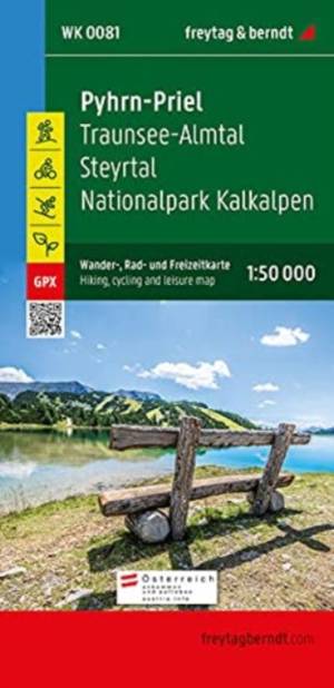
Grünau - Almtal - Steyrtal - NP Kalkalpen
- Dankzij de gedetailleerde digitale cartografie en nauwkeurige schalen zijn freytag & berndt-wandelkaarten ideale metgezellen voor wandelen en fietsen.... Savoir plus
12,90 €Livraison 1 à 2 semaines12,90 €Livraison 1 à 2 semaines -
Ötztal - Pitztal - Kaunertal - Wildspitze
- freytag & berndt hiking maps are ideal companions for hiking, mountaineering and ski tours. The "Ötztal - Pitztal - Kaunertal - Wildspitze Hiking Map,... Savoir plus
12,90 €Livraison 1 à 2 semaines12,90 €Livraison 1 à 2 semaines -
Mayrhofen -Zillertaler Alpen-Gerlos-Krimml
- The region around Mayrhofen, Gerlos, Krimml and Tuxertal offers countless opportunities for outdoor activities, especially for hikers and cyclists. Savoir plus
12,90 €Livraison 1 à 2 semaines12,90 €Livraison 1 à 2 semaines -
Bad Ischl - Wolfgangsee - Hintersee - Altausseer See
- Kontinent: Europa Land: Österreich Bundesland / Provinz: Oberösterreich, Steiermark Region: Salzkammergut, Wolfgangsee, Traunviertel, Obersteiermark, ... Savoir plus
9,90 €Livraison 1 à 2 semaines9,90 €Livraison 1 à 2 semaines -
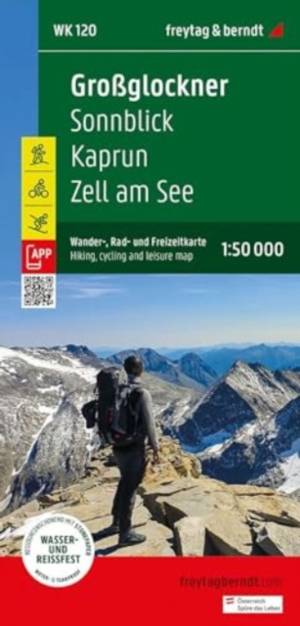
Grossglockner - Sonnblick - Kaprun - Zell am See
- Hiking and cycling map with information on relief and points of interest. Savoir plus
12,90 €Livraison 1 à 2 semaines12,90 €Livraison 1 à 2 semaines -
Kamptal - Zwettl - Horn - Langenlois - Krems
- Thanks to the detailed digital cartography and the precise scales, freytag & berndt hiking maps are ideal companions for hiking, mountaineering and sk... Savoir plus
12,90 €Livraison 1 à 2 semaines12,90 €Livraison 1 à 2 semaines -
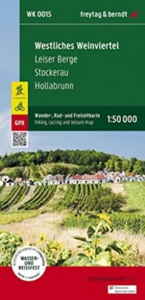
Westliches Weinviertel -Leiser Berge -Stockerau
- Thanks to the detailed digital cartography and the precise scales, freytag & berndt hiking maps are ideal companions for hiking and cycling. They are ... Savoir plus
12,90 €Livraison 1 à 2 semaines12,90 €Livraison 1 à 2 semaines -
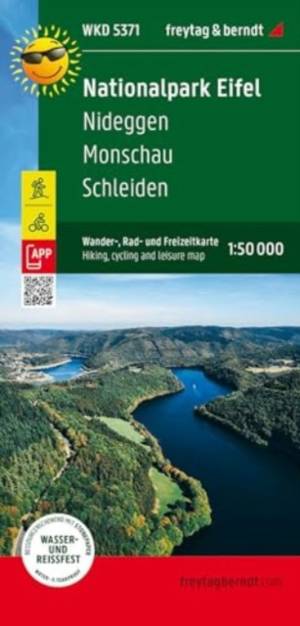
Eifel NP Nideggen - Monschau - Scheliden
- The Eifel National Park hiking, cycling and leisure map provides detailed information about the various hiking and cycling trails in this varied lands... Savoir plus
8,90 €Livraison 1 à 2 semaines8,90 €Livraison 1 à 2 semaines -
Ostliches Weinviertel-Mistelbach-Poysdorf-March
- Thanks to the detailed digital cartography and the precise scales, freytag & berndt hiking maps are ideal companions for hiking and cycling. They are ... Savoir plus
12,90 €Livraison 1 à 2 semaines12,90 €Livraison 1 à 2 semaines -
Zirbitzkogel Naturpark - Grebenzen
- De wandelkaarten van Freytag & Berndt zijn de perfecte metgezel voor wandelen, bergbeklimmen en langlaufen, door middel van gedetailleerde digitale ka... Savoir plus
12,90 €Livraison 1 à 2 semaines12,90 €Livraison 1 à 2 semaines -
Landeck - Reschenpass - Paznaun - Samnaungruppe
- Thanks to the detailed digital cartography and precise scales, freytag & berndt hiking maps are ideal companions for hiking, mountaineering and ski to... Savoir plus
12,90 €Livraison 1 à 2 semaines12,90 €Livraison 1 à 2 semaines -
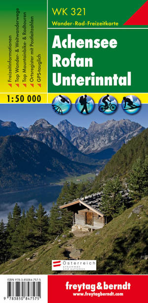
Achensee - Rofan - Unterinntal
- Die Wanderkarte 321 Achensee - Rofan - Unterinntal, 1:50.000 wird regelmäßig überarbeitet und enthält aktualisierte Informationen zu Wanderwegen, Rad-... Savoir plus
12,99 €12,99 € -
Dachstein - Ausseer land - Filzmoos
- Thanks to the detailed digital cartography and the precise scales, freytag & berndt hiking maps are ideal companions for hiking and cycling. Savoir plus
12,90 €Livraison 1 à 2 semaines12,90 €Livraison 1 à 2 semaines -
Traisental - Sankt Pölten - Dunkelsteinerwald
- Thanks to the detailed digital cartography and the precise scales, freytag & berndt hiking maps are ideal companions for hiking and cycling. Savoir plus
12,90 €Livraison 1 à 2 semaines12,90 €Livraison 1 à 2 semaines -
Villach - Faaker See - Ossiacher See - Dobratsch
- freytag & berndt Wanderkarten sind dank der detaillierten digitalen Kartographie und der genauen Maßstäbe ideale Begleiter beim Wandern, Bergsteigen u... Savoir plus
12,90 €Livraison 1 à 2 semaines12,90 €Livraison 1 à 2 semaines -
Karinthië Zuid - Klopeiner See - Völkermarkt - Bleiburg - Karawanken
- De wandelkaarten van Freytag & Berndt zijn de perfecte metgezel voor wandelen, bergbeklimmen en langlaufen, door middel van gedetailleerde digitale ka... Savoir plus
12,90 €Livraison 1 à 2 semaines12,90 €Livraison 1 à 2 semaines -
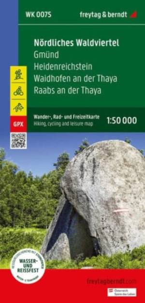
Nördliches Waldviertel - Gmünd
- Thanks to the detailed digital cartography and the precise scales, freytag & berndt hiking maps are ideal companions for hiking and cycling. Savoir plus
12,90 €Livraison 1 à 2 semaines12,90 €Livraison 1 à 2 semaines


