
En raison d'une grêve chez bpost, votre commande pourrait être retardée. Vous avez besoin d’un livre rapidement ? Nos magasins vous accueillent à bras ouverts !
- Retrait gratuit dans votre magasin Club
- 7.000.000 titres dans notre catalogue
- Payer en toute sécurité
- Toujours un magasin près de chez vous
En raison de la grêve chez bpost, votre commande pourrait être retardée. Vous avez besoin d’un livre rapidement ? Nos magasins vous accueillent à bras ouverts !
- Retrait gratuit dans votre magasin Club
- 7.000.0000 titres dans notre catalogue
- Payer en toute sécurité
- Toujours un magasin près de chez vous


Description
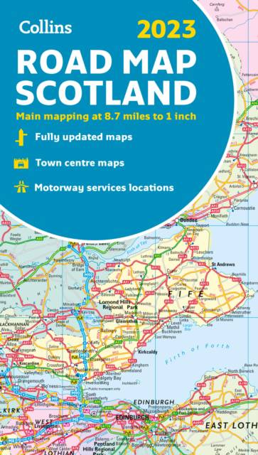
Full color map of Scotland at 8.7 miles to 1 inch (1:550,000) with clear, detailed road network and administrative areas shown in color. The map covers the whole of Scotland and part of Northern England conveniently on one side, and is ideal for reference or route planning. The map shows the road network in detail for easy route planning. It is ideal for business users also, with its political coloring of local council areas. Main features:
- Fully updated
- Administrative areas shown in color
- Clear, detailed road network and road distances
- Town and city names, rivers, railway lines and canals are clearly shown
- 7 city/town center street plans showing places of interest
- Index to place names
- Mileage chart
- Car ferry routes
- Key in English, French and German
Spécifications
Parties prenantes
- Auteur(s) :
- Editeur:
Contenu
- Nombre de pages :
- 1
- Langue:
- Anglais
- Collection :
Caractéristiques
- EAN:
- 9780008447861
- Date de parution :
- 01-04-23
- Format:
- Livre broché
- Format numérique:
- Trade paperback (VS)
- Dimensions :
- 140 mm x 245 mm
- Poids :
- 149 g


Les avis
Nous publions uniquement les avis qui respectent les conditions requises. Consultez nos conditions pour les avis.