- Retrait gratuit dans votre magasin Club
- 7.000.000 titres dans notre catalogue
- Payer en toute sécurité
- Toujours un magasin près de chez vous
- Retrait gratuit dans votre magasin Club
- 7.000.0000 titres dans notre catalogue
- Payer en toute sécurité
- Toujours un magasin près de chez vous
Résultats pour "Collins Road Atlas"
-
2024 Collins Road Map of Ireland
- Discover new places with fully updated road atlases from Collins. Full-colour map of Ireland at 9 miles to 1 inch (1:570,240), with clear, detailed ro... Savoir plus
11,95 €Livraison 1 à 2 semaines11,95 €Livraison 1 à 2 semaines -
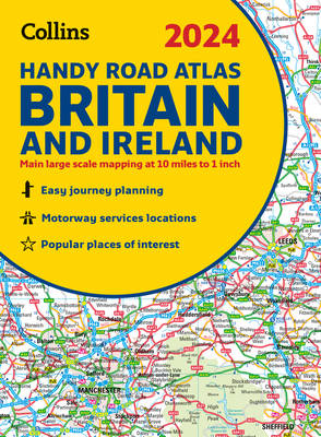
2024 Collins Handy Road Atlas Britain and Ireland
Collins
- Reliure spiralée | Anglais | Collins Road Atlas
- This easy-to-use, handy A5 sized road atlas with popular lie-flat spiral binding features extremely clear route planning maps of Britain and Ireland a... Savoir plus
8,45 €Livraison 1 à 2 semaines8,45 €Livraison 1 à 2 semaines -
2024 Collins Essential Road Atlas Britain and Northern Ireland
Collins
- Reliure spiralée | Anglais | Collins Road Atlas
- This A4 road atlas with lie-flat spiral binding provides clear and detailed road mapping for England, Wales and Southern Scotland at a scale of 3.2 mi... Savoir plus
25,45 €Livraison 1 à 2 semaines25,45 €Livraison 1 à 2 semaines -
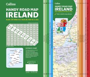
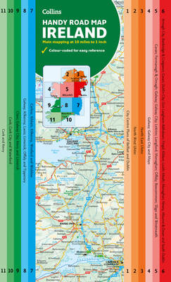
Collins Handy Road Map Ireland
Collins Maps
- Livre broché | Anglais | Collins Road Atlas
- Easy-to-use route-planning map covering the whole of Ireland opens almost like a book. It has the convenience of an atlas with all the benefits of a f... Savoir plus
6,95 €Livraison 1 à 2 semaines6,95 €Livraison 1 à 2 semaines -
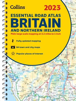
2023 Collins Essential Road Atlas Britain and Northern Ireland
Collins Maps
- Reliure spiralée | Anglais | Collins Road Atlas
- This A4 road atlas with popular lie-flat spiral binding features clear, detailed road mapping, at a scale of 3.2 miles to 1 inch (1:200,000) for Engla... Savoir plus
25,45 €Livraison 1 à 2 semaines25,45 €Livraison 1 à 2 semaines -
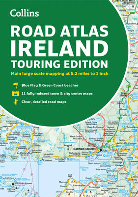
Road Atlas Ireland
Collins Maps
- Livre broché | Anglais | Collins Road Atlas
- Explore Ireland with this accurate and fully updated road atlas. This road atlas is at A4 size, covering the whole of Ireland and features clear and d... Savoir plus
9,95 €Livraison 1 à 2 semaines9,95 €Livraison 1 à 2 semaines -
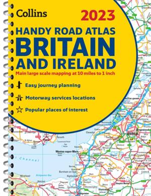
2023 Collins Handy Road Atlas Britain and Ireland
Dorothy Warren
- Reliure spiralée | Anglais | Collins Road Atlas
- Discover new places with fully updated road atlases from Collins. This easy-to-use, handy A5 sized road atlas with popular lie-flat spiral binding fea... Savoir plus
10,45 €Livraison 1 à 2 semaines10,45 €Livraison 1 à 2 semaines -
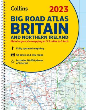
2023 Collins Big Road Atlas Britain and Northern Ireland
Dorothy Warren
- Reliure spiralée | Anglais | Collins Road Atlas
- Discover new places with fully updated road atlases from Collins. The ultimate 3.2 miles to 1 inch scale large format paperback road atlas of Britain,... Savoir plus
21,95 €Livraison 1 à 2 semaines21,95 €Livraison 1 à 2 semaines -
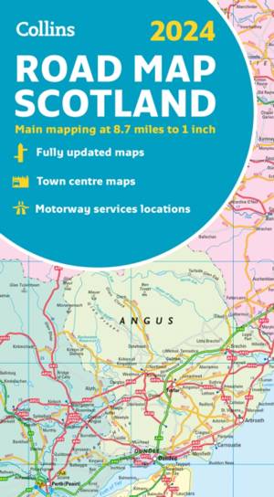
2024 Collins Road Map of Scotland
- Full-colour map of Scotland at 8.7 miles to 1 inch, with clear road network and administrative areas shown in colour. The map covers the whole of Scot... Savoir plus
11,95 €Livraison 1 à 2 semaines11,95 €Livraison 1 à 2 semaines -
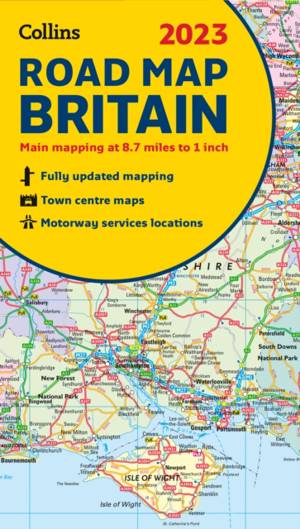
2023 Collins Road Map of Britain
- Discover new places with fully updated road atlases from Collins. Full colour double-sided map of Great Britain at 8.7 miles to 1 inch (1:550,000), wi... Savoir plus
11,95 €Livraison 1 à 2 semaines11,95 €Livraison 1 à 2 semaines -
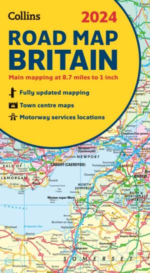
2024 Collins Road Map of Britain
- Full-colour, double-sided road map of Great Britain at a scale of 8.7 miles to 1 inch. Northern England, Scotland and the Isle of Man are on one side ... Savoir plus
9,95 €Livraison 1 à 2 semaines9,95 €Livraison 1 à 2 semaines -
Map of Ireland Handy
- Explore new places with this authoritative map of Ireland. Easy-to-use route-planning map covering the whole of Ireland opens almost like a book. It h... Savoir plus
8,45 €Livraison 1 à 2 semaines8,45 €Livraison 1 à 2 semaines -
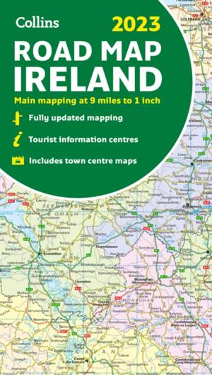
2023 Collins Road Map of Ireland
- Discover new places with fully updated road atlases from Collins. Full colour map of Ireland at 9 miles to 1 inch (1:570,240), with clear, detailed ro... Savoir plus
9,95 €Date de disponibilité inconnue9,95 €Date de disponibilité inconnue -
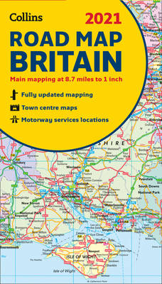
2021 Collins Road Map Britain
- Full colour double-sided map of Great Britain at 8.7 miles to 1 inch (1:550,000), with clear, detailed road network and administrative areas shown in ... Savoir plus
6,95 €Date de disponibilité inconnue6,95 €Date de disponibilité inconnue -
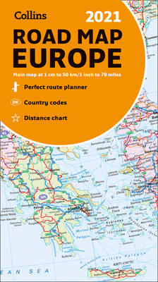
2021 Collins Road Map Europe
- A fully revised and updated colour road map of Europe at a scale of 79 miles to 1 inch / 50km to 1cm (1: 5,000,000). Roads, motorways, European Route ... Savoir plus
8,45 €Date de disponibilité inconnue8,45 €Date de disponibilité inconnue -
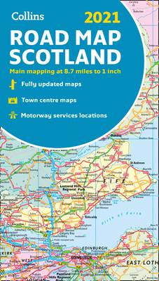
Map of Scotland 2021
- Full colour map of Scotland at 8.7 miles to 1 inch (1:550,000) with clear, detailed road network and administrative areas shown in colour. The map cov... Savoir plus
6,95 €Date de disponibilité inconnue6,95 €Date de disponibilité inconnue -
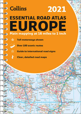
2021 Collins Essential Road Atlas Europe
Collins Maps
- Reliure spiralée | Anglais | Collins Road Atlas
- Up-to-date spiral bound road atlas of Europe. Contains clear, large-scale, detailed road mapping, perfect for touring the Mediterranean, Iberian penin... Savoir plus
20,95 €Date de disponibilité inconnue20,95 €Date de disponibilité inconnue -
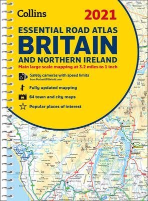
2021 Collins Essential Road Atlas Britain and Northern Ireland
Collins Maps
- Reliure spiralée | Anglais | Collins Road Atlas
- This atlas with popular lie-flat binding features clear, detailed road mapping, at a scale of 3.2 miles to 1 inch (1:200,000) for England, Wales and S... Savoir plus
20,95 €Date de disponibilité inconnue20,95 €Date de disponibilité inconnue -
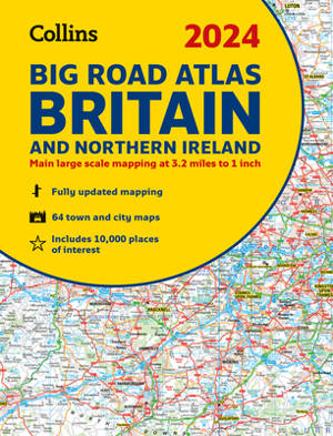
2024 Collins Big Road Atlas Britain and Northern Ireland
Collins Maps
- Reliure spiralée | Collins Road Atlas
- The ultimate 3.2 miles to 1 inch scale large format paperback road atlas of Britain, featuring Collins’ popular and well established road mapping, and... Savoir plus
20,95 €Date de disponibilité inconnue20,95 €Date de disponibilité inconnue -
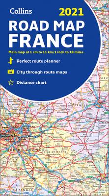
2021 Collins Road Map France
- New edition of annually revised, politically coloured road map of France at 18 miles to 1 inch / 11km to 1cm (1:1,120,000). The map shows individual d... Savoir plus
8,45 €Date de disponibilité inconnue8,45 €Date de disponibilité inconnue -
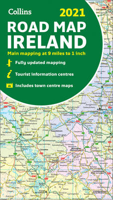
Map of Ireland 2021
- Explore Ireland with this full colour road map. Full colour map of Ireland at 9 miles to 1 inch (1:570,240), with clear, detailed road network and cou... Savoir plus
6,95 €Date de disponibilité inconnue6,95 €Date de disponibilité inconnue
21 sur 21 résultat(s) affiché(s)


