- Retrait gratuit dans votre magasin Club
- 7.000.000 titres dans notre catalogue
- Payer en toute sécurité
- Toujours un magasin près de chez vous
- Retrait gratuit dans votre magasin Club
- 7.000.0000 titres dans notre catalogue
- Payer en toute sécurité
- Toujours un magasin près de chez vous
Description
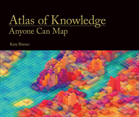
Maps of physical spaces locate us in the world and help us navigate unfamiliar routes. Maps of topical spaces help us visualize the extent and structure of our collective knowledge; they reveal bursts of activity, pathways of ideas, and borders that beg to be crossed. This book, from the author of Atlas of Science, describes the power of topical maps, providing readers with principles for visualizing knowledge and offering as examples forty large-scale and more than 100 small-scale full-color maps.
Today, data literacy is becoming as important as language literacy. Well-designed visualizations can rescue us from a sea of data, helping us to make sense of information, connect ideas, and make better decisions in real time. In Atlas of Knowledge, leading visualization expert Katy Börner makes the case for a systems science approach to science and technology studies and explains different types and levels of analysis. Drawing on fifteen years of teaching and tool development, she introduces a theoretical framework meant to guide readers through user and task analysis; data preparation, analysis, and visualization; visualization deployment; and the interpretation of science maps. To exemplify the framework, the Atlas features striking and enlightening new maps from the popular "Places & Spaces: Mapping Science" exhibit that range from "Key Events in the Development of the Video Tape Recorder" to "Mobile Landscapes: Location Data from Cell Phones for Urban Analysis" to "Literary Empires: Mapping Temporal and Spatial Settings of Victorian Poetry" to "Seeing Standards: A Visualization of the Metadata Universe." She also discusses the possible effect of science maps on the practice of science.
Spécifications
Parties prenantes
- Auteur(s) :
- Editeur:
Contenu
- Nombre de pages :
- 224
- Langue:
- Anglais
- Collection :
Caractéristiques
- EAN:
- 9780262028813
- Date de parution :
- 13-03-15
- Format:
- Livre relié
- Format numérique:
- Genaaid
- Dimensions :
- 333 mm x 287 mm
- Poids :
- 2063 g

Les avis
Nous publions uniquement les avis qui respectent les conditions requises. Consultez nos conditions pour les avis.


