- Retrait gratuit dans votre magasin Club
- 7.000.000 titres dans notre catalogue
- Payer en toute sécurité
- Toujours un magasin près de chez vous
- Retrait gratuit dans votre magasin Club
- 7.000.0000 titres dans notre catalogue
- Payer en toute sécurité
- Toujours un magasin près de chez vous
Description
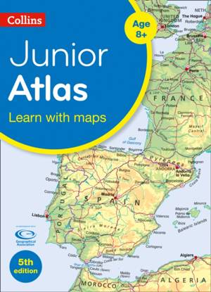
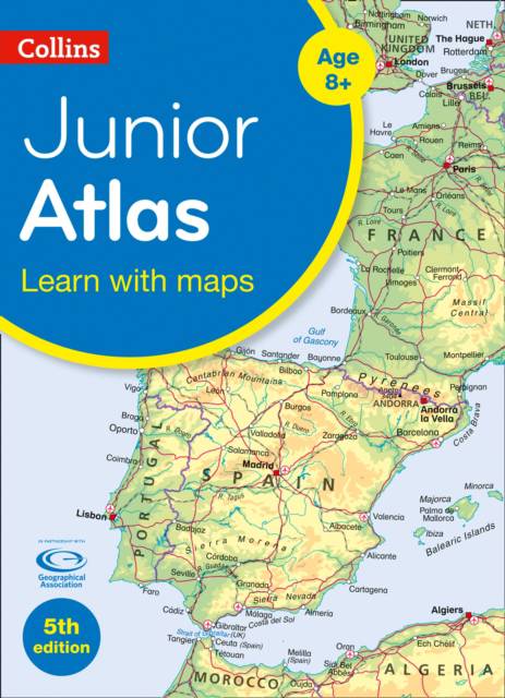
Fully revised and updated for 2020, this is an ideal world reference atlas for young geographers. Published in association with the Geographical Association, it enables children to learn about the world today and understand how maps and atlases work. The atlas includes topics such as climate, population, migration, trade, and environmental issues, such as global warming. Topographical based mapping helps the young geographer understand the processes which take place during the formation of the earth's landscapes. The reference mapping is designed for maximum clarity and accessibility, and is supported by photographs and data boxes, with detailed map keys and scale information on each map. Specially selected topic maps give additional information linking to knowledge and understanding of distant places. Tables of key world country data include an Ecological Footprint figure for each country.
Spécifications
Parties prenantes
- Auteur(s) :
- Editeur:
Contenu
- Nombre de pages :
- 80
- Langue:
- Anglais
- Collection :
Caractéristiques
- EAN:
- 9780008381516
- Date de parution :
- 01-09-20
- Format:
- Livre broché
- Format numérique:
- Trade paperback (VS)
- Dimensions :
- 229 mm x 311 mm
- Poids :
- 312 g

Les avis
Nous publions uniquement les avis qui respectent les conditions requises. Consultez nos conditions pour les avis.


